What is recorded here
Embedded in the ground on the E side of a N-S lane beside a gate, and at the summit of the S end of a low NW-SE drumlin ridge. A limestone block with a single basin (dims 0.45m x 0.38m; D 0.25m). The children's burial ground (RO026-052001-) is c. 100m to the NW.
Compiled by: Michael Moore
Date of upload: 24 August 2010
Likely dating to the early Christian period, the well is associated with Saint Patrick and may have been a site of religious or ritual significance. Such wells were often linked to healing, pilgrimage, or local folklore involving saintly intervention.
The monument record does not grant public access. Check the route and ask the landowner before entering private land.
- What survives
- Recorded monument
Places near here
 Saint Patricks WellArchaeological place · 18 yd
 Church in Clooncoose SouthChurch · 121 yd
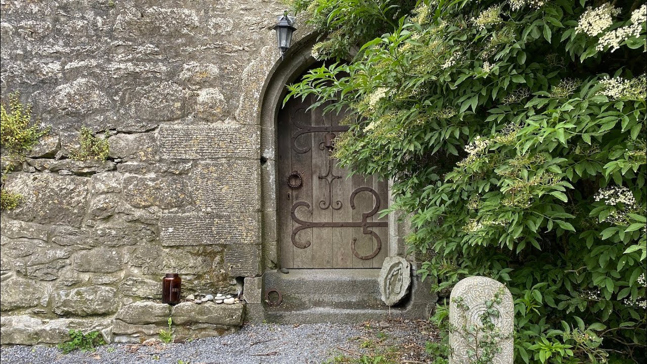 Embanked enclosureFairy fort / earthen ringfort · 972 yd
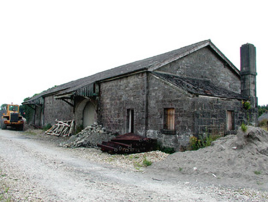 Castlerea Railway Stationlocomotive shed · 1.8 mi
 Workhouse MemorialMemorial · 1.9 mi
 Castlereagh HouseCastle, unclassified · 2.3 mi
 Silver IslandIslet · 2.4 mi
 Coolougher WoodForest · 2.5 mi
 Clonalis HouseMuseum · 3.0 mi
 CastleCastle, Anglo-Norman masonry castle · 3.6 mi
 Rook HillMountain / peak · 5.5 mi
 Site of Killomaine Grave YardArchaeological place · 6.1 mi