What is recorded here
Located at the bottom of a NE-facing slope and c. 30m from the W bank of a NW-SE stream. It is described as St Mogue's Well on the 1840 and 1924 eds of the OS 6-inch map, and is now located under the Ferns to Gorey road (N11). It was enclosed in 1847 when a stone head from Clone church (WX015-023001-) was incorporated into the masonry superstructure (O'Broin 1983-4, 33-4). It is now inaccessible, but steps lead down from the road to a lintelled passage (L 1.05m; Wth 0.62m; H 1.2m) that leads to a higher barrel-vaulted passage (L 1.65m; Wth 1.05m) with the well, a circular, stone-lined pool (diam. c. 0.65m) at the end. A channel from the well now leads to an open well c. 25m to the NE.
Compiled by: Michael Moore
Date of upload: 30 April, 2012
St Mogues Well is associated with St Mogue (or Mochua), a 6th-century Irish saint known for founding monasteries in County Wexford and parts of Leinster. The well was historically believed to have healing properties, particularly for skin ailments and general wellness, and was likely a site of pilgrimage and seasonal rituals.
The monument record does not grant public access. Check the route and ask the landowner before entering private land.
- What survives
- Recorded monument
Places near here
 Saint Mogue's Wellbuilding misc · 5 yd
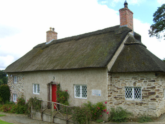 Saint Mogue's Cottagesexton's house · 57 yd
 Stone CrossCross, High cross · 71 yd
 Hut site in Ferns UpperHut site · 142 yd
 Ferns Castle (in ruins)Castle, Anglo-Norman masonry castle · 542 yd
 Coolroe WoodForest · 1747 yd
 Coolpuck WoodForest · 1.2 mi
 CastleCastle, unclassified · 1.2 mi
 Milshoge RockMountain / peak · 3.7 mi
 Giants BedNamed rock · 3.9 mi
 Carrigroe HillMountain / peak · 4.4 mi
 Father Murphy CentreHeritage attraction · 4.5 mi