
What is recorded here
Marked on the 1839 and 1925 eds of the OS 6-inch map and described in gothic lettering on both as St. Margaret’s Well, with the additional information 'Site of' on the latter. It is situated at the bottom of a slight W-facing slope and on the N side of a NE-SW lane. The name is recorded by John O’Donovan writing c. 1840 who says that it had not been visited by pilgrims since c. 1820 (O’Flanagan 1933, vol. 2, 360). A land-drain has its source at this point. The site of Rathumney church (WX040-029001-) is c. 480m to the SE.
Compiled by: Micahel Moore
Date of upload: 21 February, 2013
Linked to St. Margaret, a popular medieval saint venerated for her miraculous healings and protection, the well was likely a site of pilgrimage and water cures. Traditionally, such wells were visited for ailments of the stomach and skin, with rituals often performed at dawn or on saint's days.
The monument record does not grant public access. Check the route and ask the landowner before entering private land.
- What survives
- Recorded monument
Places near here
 Rathumney Castle (in ruins)Castle, hall-house · 146 yd
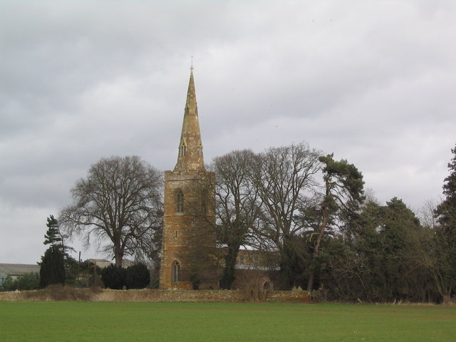 Site of ChurchChurch · 520 yd
 Enclosure in RathumneyEnclosure · 706 yd
 bridgebridge · 1663 yd
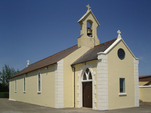 Catholic Church of Saint John the Baptistchurch/chapel · 1753 yd
 Castle (in ruins)Castle, unclassified · 1.4 mi
 Tinnock RockNamed rock · 2.1 mi
 Campile WWII Bombing MemorialMemorial · 2.8 mi
 Dunbrody Abbey Visitor CentreHeritage attraction · 3.5 mi
 Dunbrody Abbey Hedge MazeHeritage attraction · 3.5 mi
 SlievecoiltiaMountain / peak · 3.8 mi
 Devon whitebeamDevon whitebeam · 4.4 mi
Other information
Photo: Credit not shown in the picture search · Rights wording not checked; contact us if this picture should be removed