
What is recorded here
On the E side of Carrick Street, c. 45m behind the street front on a slight rise in an area of rough ground which is bounded by a concrete wall to the W, the tumbled remains of an old wall to the N and by conifers along the N, E and S boundary. The ground slopes to the W. The area is overgrown and has been used as a dumping ground. A chain-link fence has been built inside the line of the N wall. There is a hall-house (TS063-071001-) c. 30m to the NW. The chapel is indicated as an L-shaped building on the 1st (1840) ed. OS 6-inch map, with the main portion running E-W and a return running N-S from the N face at the E end. By the 2nd (1904) ed. OS 6-inch map it is indicated as 'Chapel (Site of)'. There is no visible trace of the chapel above ground. There may have been a graveyard (TS063-071005-) associated with this chapel.
Compiled by: Jean Farrelly
Date of revised upload: 6 October 2014
This remains an important historical record, but the official description says the monument is no longer visible or has been destroyed. The monument record does not grant public access. Check the route and ask the landowner before entering private land.
- What survives
- No visible remains or recorded as destroyed
Places near here
 St. Johns Monastery (in ruins)Castle, hall-house · 35 yd
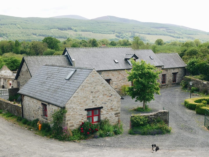 Enclosure in MullinahoneEnclosure · 111 yd
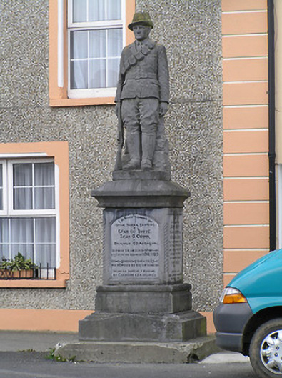 War of Independence Monumentmonument · 164 yd
 Saw Mill (site of)Archaeological place · 175 yd
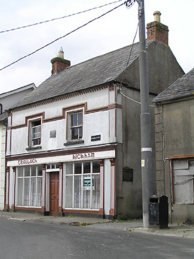 Teallach Kickhamhouse · 177 yd
 Fenane WoodForest · 1.0 mi
 Modeshil Castle (in ruins)Castle · 2.2 mi
 European ashEuropean ash · 2.3 mi
 Knockuragh HillMountain / peak · 2.8 mi
 The SpoutMemorial · 3.3 mi
 Killamery High CrossVisitor information · 3.5 mi
 KillameryVisitor information · 3.5 mi
Other information
Photo: Credit not shown in the picture search · Rights wording not checked; contact us if this picture should be removed