What is recorded here
On E bank of the Killimor River, wedged between a modern graveyard to N and a modern RC church to S. The remains are those of a poorly preserved rectangular medieval church (E-W; L >16.2m, Wth 6.5m). Only E gable stands to full height; the N wall is largely rebuilt and the only trace of S wall is a small section at SW angle. The only surviving architectural feature is a broken twin-light window in E gable with a shallow pointed arch and a hood moulding. A burial vault occupies the probable site of W gable and another stands just outside the line of S wall. A tower house (GA085-057----) stands 80m SSE. (O'Flanagan 1927, Vol. 1, 462-3, 466-7)
The above description is derived from the published 'Archaeological Inventory of County Galway Vol. II - North Galway'. Compiled by Olive Alcock, Kathy de hÓra and Paul Gosling (Dublin: Stationery Office, 1999).
Date of upload: 05 August 2010
The monument record does not grant public access. Check the route and ask the landowner before entering private land.
- What survives
- Recorded monument
Places near here
 R.C. ChapelChurch · 35 yd
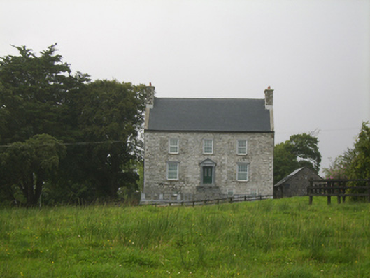 Killimor Castlecountry house · 122 yd
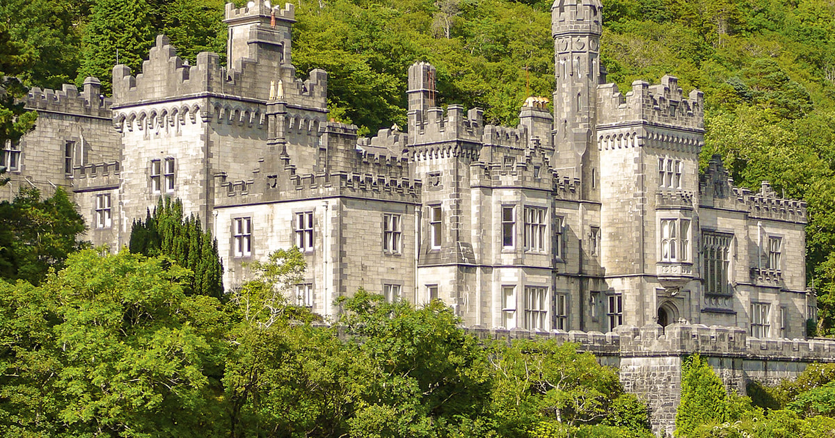 Tober ImorHoly well · 239 yd
 Enclosure in Gortnalone SouthEnclosure · 1.8 mi
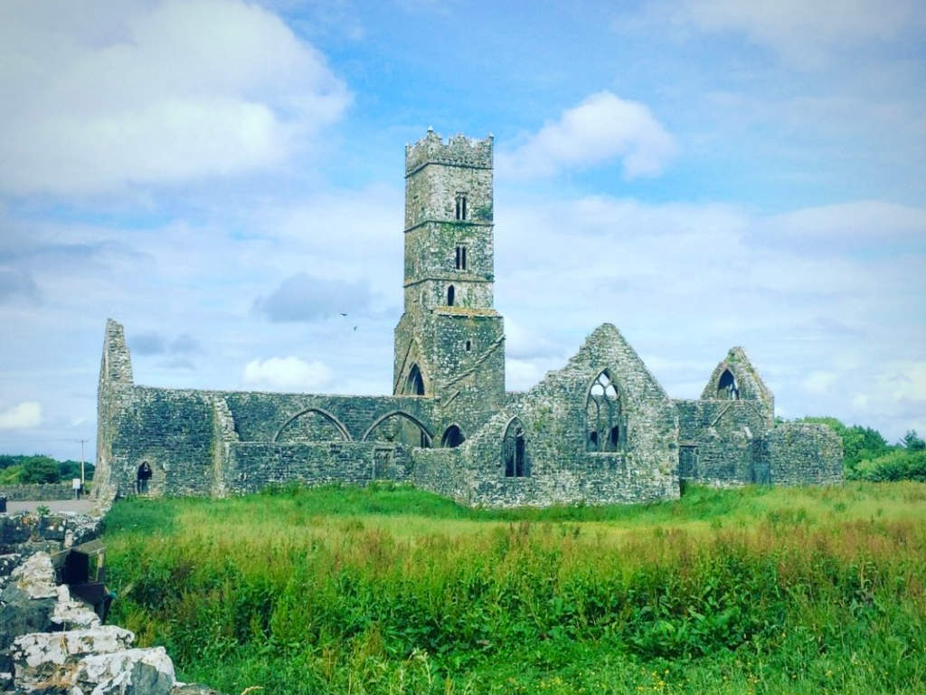 Cloonbrusk Castle (in ruins)Castle, unclassified · 3.4 mi
 Galboley Castle (in ruins)Castle, unclassified · 3.7 mi
 Turoe StoneHeritage attraction · 3.9 mi
 Woodlawn WoodsForest · 4.4 mi
 European Crab AppleEuropean Crab Apple · 4.8 mi
 Barrack IslandIslet · 7.6 mi
 Middle IslandIslet · 7.7 mi
 Menlough IRAMemorial · 8.0 mi