
What is recorded here
St. Columbkilles Holy Wells sit in the northeast corner of a Galway churchyard, two small walled basins joined together beneath brambles and trees. One is oval, the other angular, both shallow enough to touch yet deep enough to hide their bottom in shadow. Children were buried a short distance east, suggesting the water served life and death alike. The arrangement still implies a place where people came to ask, remember, or be cleansed before leaving the living world behind.
Located in the NE corner of a graveyard (GA105-029002-) associated with a church (GA105-029001-). Holy wells named ‘St. Columbkille’s Holy Wells’ on the OS 6-inch maps consist of two conjoined wells. The most northerly one (GA105-029003-) is oval in plan (L 1.36m; Wth 1.15m; D 1.2m) and defined by a low wall. The southerly well (GA105-029004-) is subrectanular in plan (L 1m; Wth 0.8m; D 0.9m) and is also defined by a wall. Both are overgrown with brambles and trees. A children’s burial ground lies c. 10m to the E. (McCaffrey 1952, 254)
Compiled by: Galway Archaeological Survey, UCG
Date of upload: 27 January 2020
St. Columbkille’s Holy Wells at Boherduff are associated with the 6th-century Irish saint Columba, known for his role in Christianizing Scotland and parts of Ireland. The wells, depicted on historical maps as two conjoined sources, were likely used for ritual washing and healing, with traditions linking them to physical and spiritual purification.
The monument record does not grant public access. Check the route and ask the landowner before entering private land.
- What survives
- Recorded monument
Places near here
 Church (in ruins)Church · 15 yd
 Water millWater mill, horizontal-wheeled · 64 yd
 Ritual siteRitual site, holy tree/bush · 108 yd
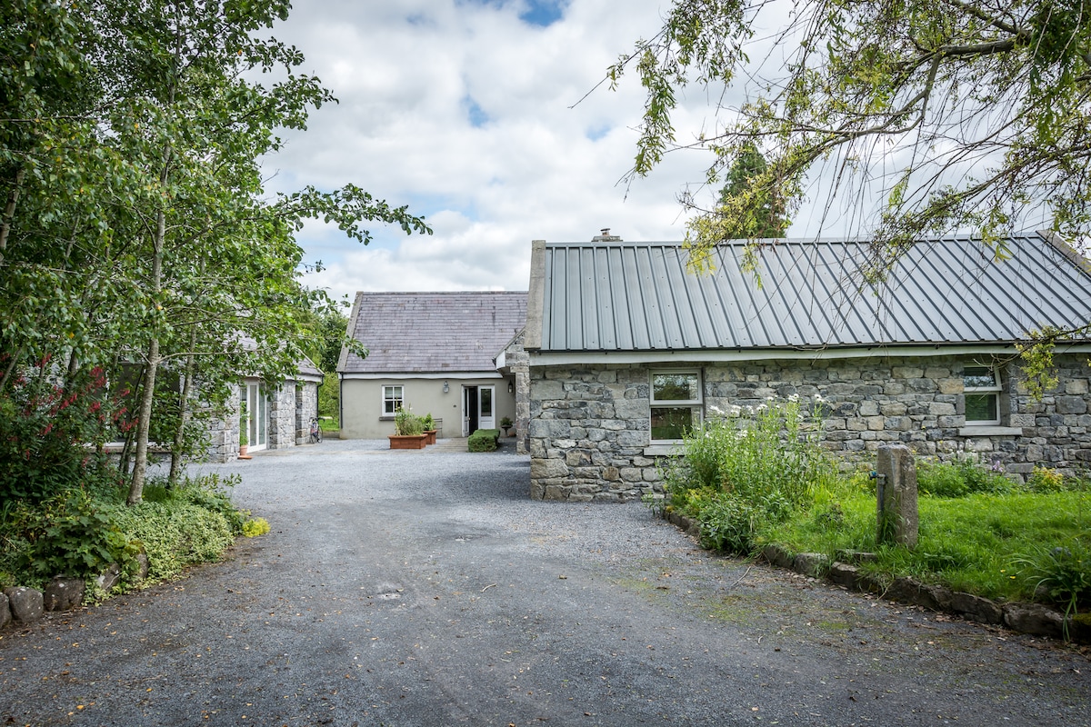 Enclosure in BoherduffEnclosure · 134 yd
 CastleCastle, tower house · 1360 yd
 Cloghastookeen Castle (in ruins)Castle, unclassified · 1.0 mi
 Blake's IslandIslet · 2.3 mi
 Ash IslandIslet · 2.6 mi
 Long PointHeadland · 3.3 mi
 Scalpeen RockNamed rock · 4.9 mi
 Turoe StoneHeritage attraction · 5.3 mi
 Moyard WoodWood · 5.6 mi
Other information
Photo: Credit not shown in the picture search · Rights wording not checked; contact us if this picture should be removed