
What is recorded here
Marked on the 1839 and 1925 eds of the OS 6-inch map and described in gothic lettering on both as St. Clómaun’s Well. This is a misspelling of Saint Colmán, and it was pronounced locally as ‘St. Clement’s Well’ (Wexford People 24-07-1954, 10). It is not known which of the many St. Colmáns (Ó Riain 2011, 183-208) was commemorated. The well is situated at the bottom of a steep E-facing slope that forms the W bank of a wide N-S river and it is at the boundary with the mud-flats of the tidal river. A spring leads to a stone-lined channel (Wth 0.6m; L 2.1m) heading towards the river and there is a concrete U-shaped wall backing into the river bank just the S, which has a concrete basin and overflow channel that were erected in 1954. When the basin was installed a stone with the inscription 'RC 1696' was recovered together with a stone that had the imprint of a human foot, a portion of a cross, and part of a font (Wexford People 31-07-1954, 10). These stones are no longer at the site.
The above description is derived from the published 'Archaeological Inventory of County Wexford' (Dublin: Stationery Office, 1996). In certain instances the entries have been revised and updated in the light of recent research.
Compiled by: Michael Moore
Date of upload/revision: 19 August, 2013
St. Clomauns Well is associated with Saint Colmán, an early Irish Christian saint linked to several monastic foundations in Ireland. The well was traditionally visited for healing purposes, and its name was locally pronounced as "St. Clement’s Well," reflecting a common folk adaptation of saintly names in regional traditions.
The monument record does not grant public access. Check the route and ask the landowner before entering private land.
- What survives
- Recorded monument
Places near here
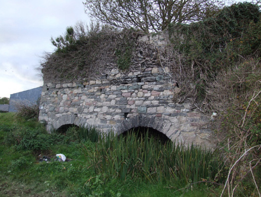 kilnkiln · 294 yd
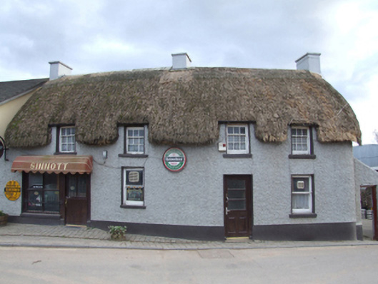 Sinnottfarm house · 353 yd
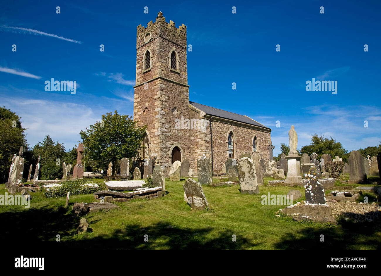 Ecclesiastical enclosure in DuncormickEcclesiastical enclosure · 389 yd
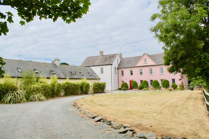 Castle (in ruins)Castle, tower house · 407 yd
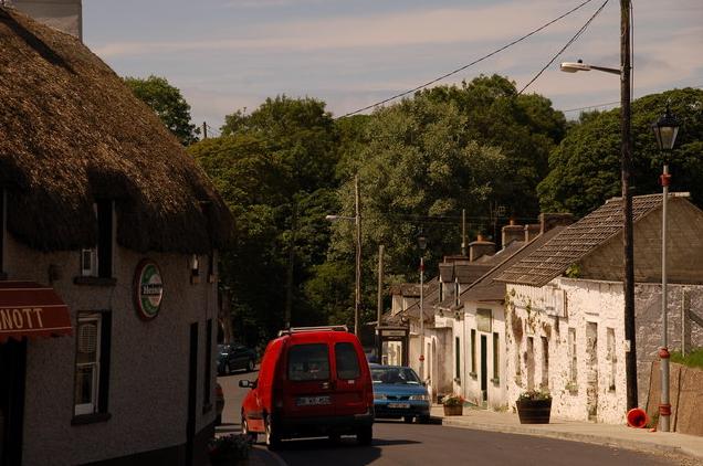 IndicatedPromontory fort, inland · 434 yd
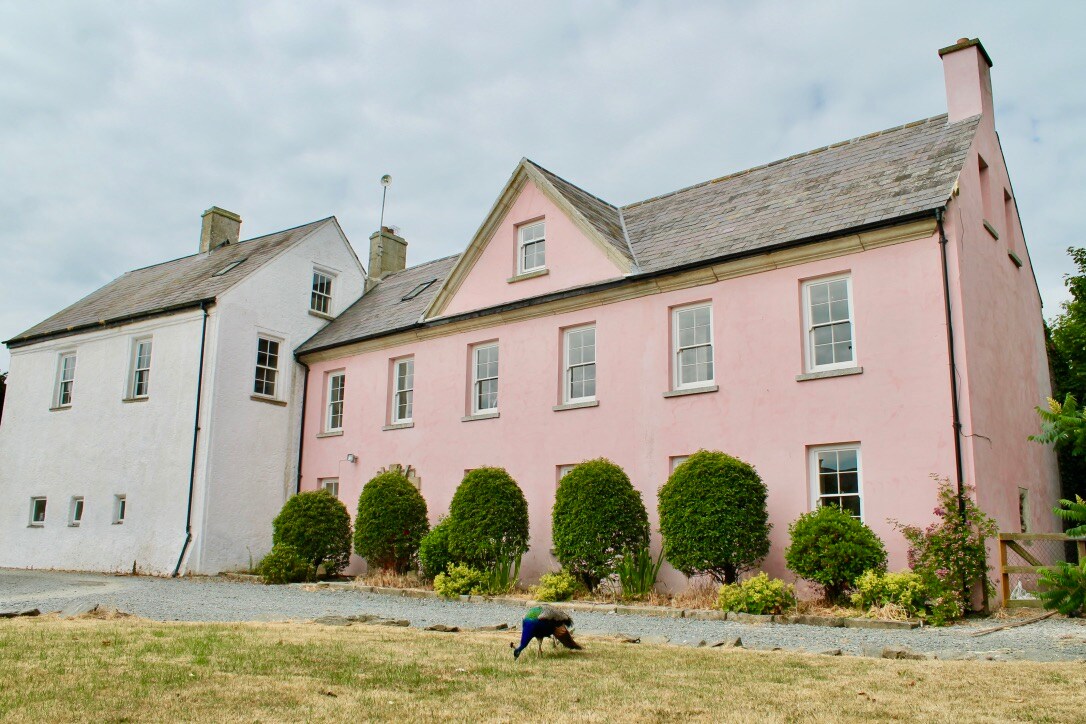 Embanked enclosureCastle, motte and bailey · 452 yd
 Cull IslandIsland · 1.4 mi
 Ballyteigue BurrowNature reserve · 2.0 mi
 Cullenstown StrandBeach / strand · 2.9 mi
 Carrig-On-BannowVisitor information · 3.4 mi
 1798 MemorialMemorial · 3.5 mi
 Ballymadder PointHeadland · 3.8 mi
Other information
Photo: Credit not shown in the picture search · Rights wording not checked; contact us if this picture should be removed