
What is recorded here
Situated in a slight N-S valley with a small E-W stream c. 15m to the N at a point where it turns N. A well is marked on the 1839 and 1940 eds of the OS 6-inch map and described as St. Catherine’s Well in gothic lettering on both. According to John O’Donovan writing c. 1840 the pattern had been held on the 25th of November until c. 1800 (O’Flanagan 1933, vol. 2, 201), but this had been forgotten by 1940 (OSFM). The date of the pattern indicates that the well was dedicated to St. Catherine of Alexandria. There are no visible remains of a well in a cereal crop.
St. Catherine was a 4th century savant who converted some pagan philosophers. When persecuted on a rack the wheels miraculously fell off the machine – hence she is always represented with a wheel. Eventually she was burned by her persecutors. Her remains were discovered in Egypt in the 8th century and miraculously translated to Mt. Sinai where her monastery continues to this day. Some of her relics came to Europe in the 11th century resulting in the popularisation of her cult. In 1969 she was removed from the Calendar by the Roman Catholic Church, but she was restored in 2002. (Butler, Rev. A 1883, 169)
Compiled by: Michael Moore
Date of upload: 15 October, 2013
St. Catherine’s Well is associated with St. Catherine of Alexandria, a Christian martyr venerated in medieval Ireland for her healing powers. The well was likely a site of pilgrimage and ritual water offerings, with traditions of curing ailments and seeking spiritual protection linked to its use.
This remains an important historical record, but the official description says the monument is no longer visible or has been destroyed. The monument record does not grant public access. Check the route and ask the landowner before entering private land.
- What survives
- No visible remains or recorded as destroyed
Places near here
 Enclosure in DamptownEnclosure · 234 yd
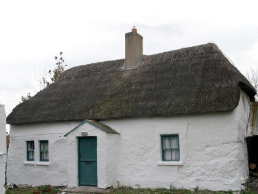 farm housefarm house · 533 yd
 Enclosure in GraniskEnclosure · 755 yd
 Chapel in Walshestown (forth By., Killinick Ed)Chapel · 1111 yd
 The Heron's MeadowForest · 1.4 mi
 The Bull RockForest · 1.4 mi
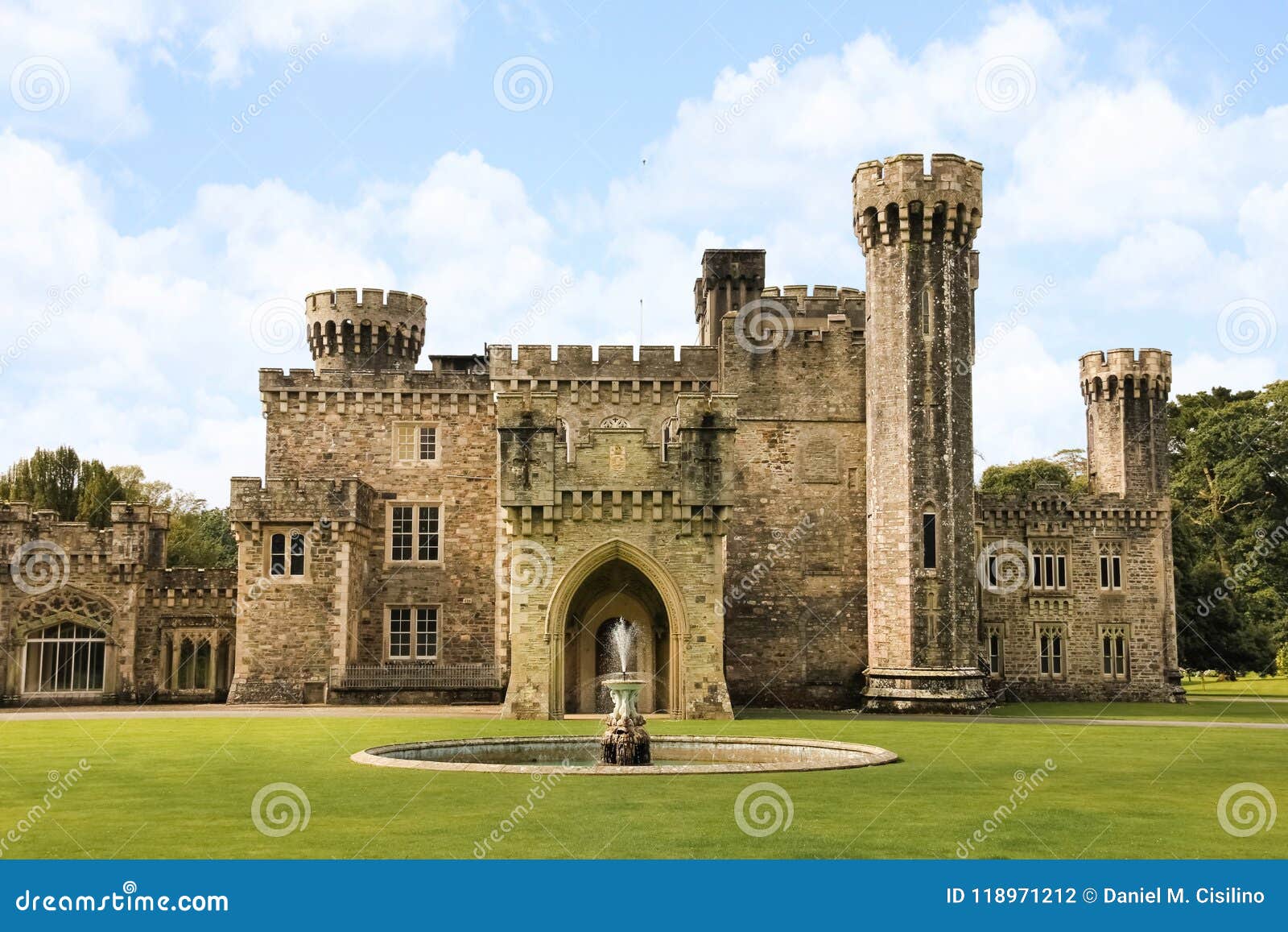 site of CastleCastle, unclassified · 1.4 mi
 1798 Memorial PlaqueMemorial · 1.5 mi
 CastleCastle, unclassified · 1.8 mi
 The White Hole BeachBeach / strand · 2.9 mi
 Ballyhealy BeachBeach / strand · 2.9 mi
 The HamBay · 3.1 mi
Other information
Photo: Credit not shown in the picture search · Rights wording not checked; contact us if this picture should be removed