What is recorded here
St. Caillins Well stood twenty metres from an oratory at the island's eastern edge, marking a sacred drinking place before disappearing entirely by 1899. O'Flaherty recorded it in 1684, yet no stone, ditch or shadow remains to show where water once rose for prayer. The earth keeps that much longer than memory, swallowing even the holes people dug to reach it.
Some 20m ENE of an oratory (GA048-003001-) at E end of the island. This well, correctly Tobar Caíllín, was noted by O'Flaherty in 1684 (Hardiman 1846, 109-10) and shown on 1st ed. of OS 6-inch map. Evidently destroyed by time of 2nd ed. (1899), when the words 'Site of are appended. No visible surface trace survives. (O'Flanagan 1927a, Vol. 3, 99; Killanin 1954, 94)
The above description is derived from the published 'Archaeological Inventory of County Galway Vol. I - West Galway'. Compiled by Paul Gosling (Dublin: Stationery Office, 1993).
Date of upload: 05 August 2010
St. Caillins Well is associated with a female saint, likely a local or lesser-known early Christian figure, and was historically noted for its spiritual or healing significance. The well's name, Tobar Caíllín, reflects a tradition linked to a "little girl" or maiden saint, common in Irish holy well lore.
The monument record does not grant public access. Check the route and ask the landowner before entering private land.
- What survives
- Recorded monument
Places near here
 St. Caillins Chapel (in ruins)Church · 19 yd
 Duck IslandIslet · 384 yd
 Old Fixed LighthouseRuins · 1718 yd
 CaherFairy fort / stone ringfort · 1750 yd
 Slyne HeadHeadland · 1.1 mi
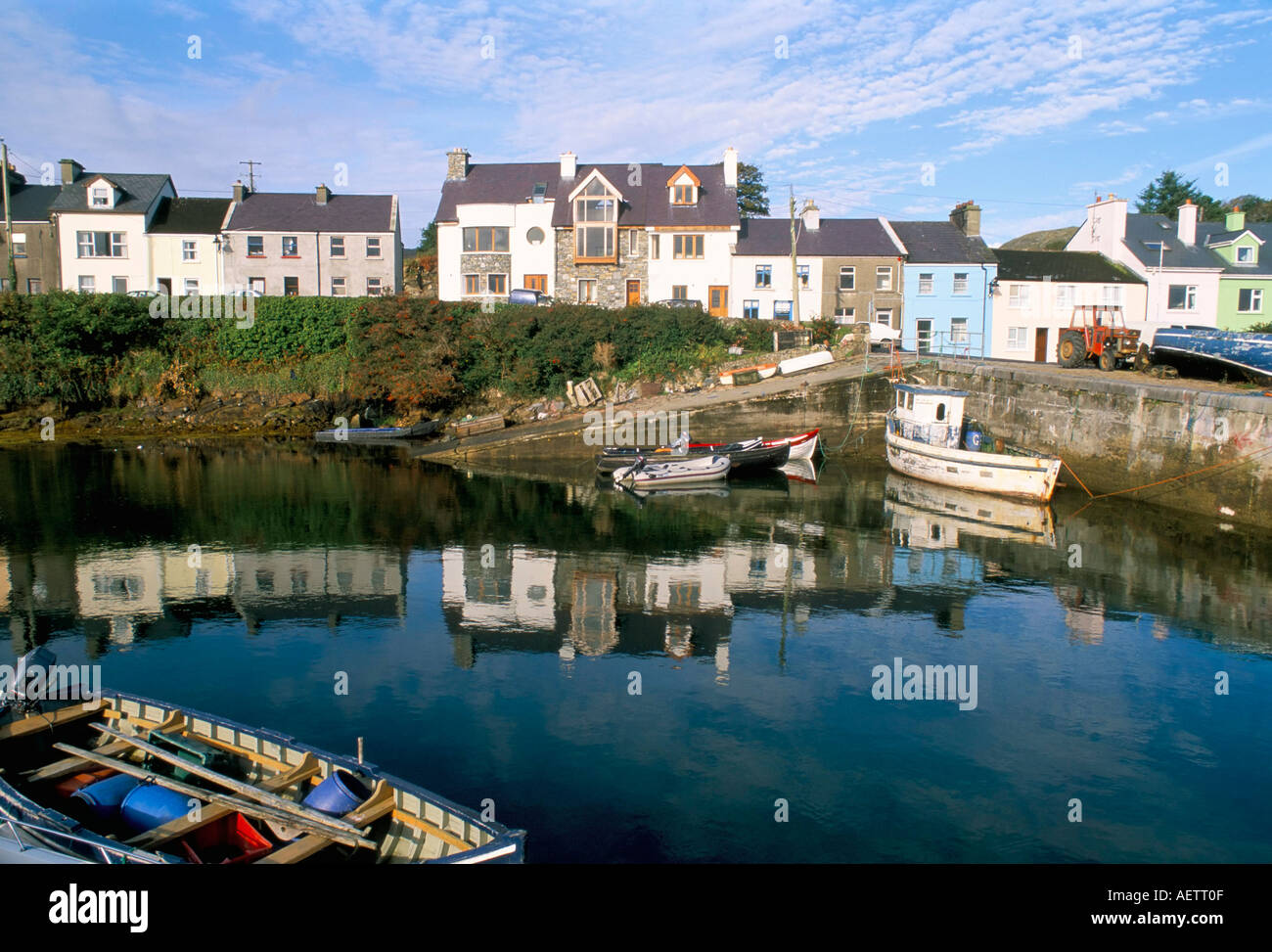 CarrickaroneIslet · 1.5 mi
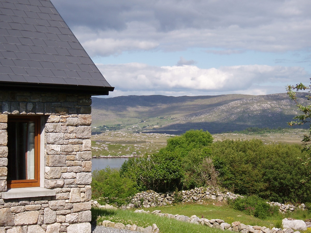 Hut site in BallinaleamaHut site · 1.7 mi
 Riding StableHeritage attraction · 2.5 mi
 Doon HillMountain / peak · 4.0 mi
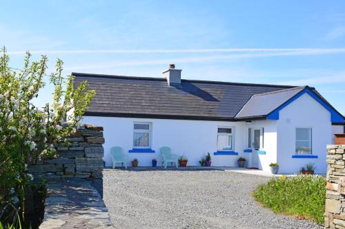 Bawn in Bunowen MoreBawn · 4.5 mi
 Mannin BayBay · 6.5 mi
 Mannin Bay Coral StrandBeach / strand · 6.8 mi