
What is recorded here
Marked as St. Bridget’s Well on the 1839 and 1924 eds. of the OS 6-inch map. It is situated on the NE bank of a small NW-SE stream. According to John O’Donovan writing c. 1840 the pattern was held on the 1st February until c. 1830 (O'Flanagan 1933, vol. 1, 90-1). This is a natural spring with no evidence of veneration. The church site (WX027-045001-) is c. 80m to the S on the other side of the stream.
Compiled by: Michael Moore
Date of upload: 17 July, 2012
St. Bridget’s Well is associated with the early Irish saint Brigid of Kildare, known for her patronage of fertility, healing, and agriculture. Traditionally, the well was visited on 1 February, the feast day of St. Brigid, for rituals involving water collection, often linked to health cures and protection.
The monument record does not grant public access. Check the route and ask the landowner before entering private land.
- What survives
- Recorded monument
Places near here
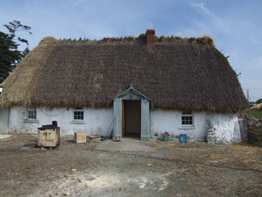 farm housefarm house · 323 yd
 Saint Brigid's Catholic Churchpresbytery/parochial/curate's house · 510 yd
 Castle Talbot (in ruins)Structure · 527 yd
 IndicatedEnclosure · 839 yd
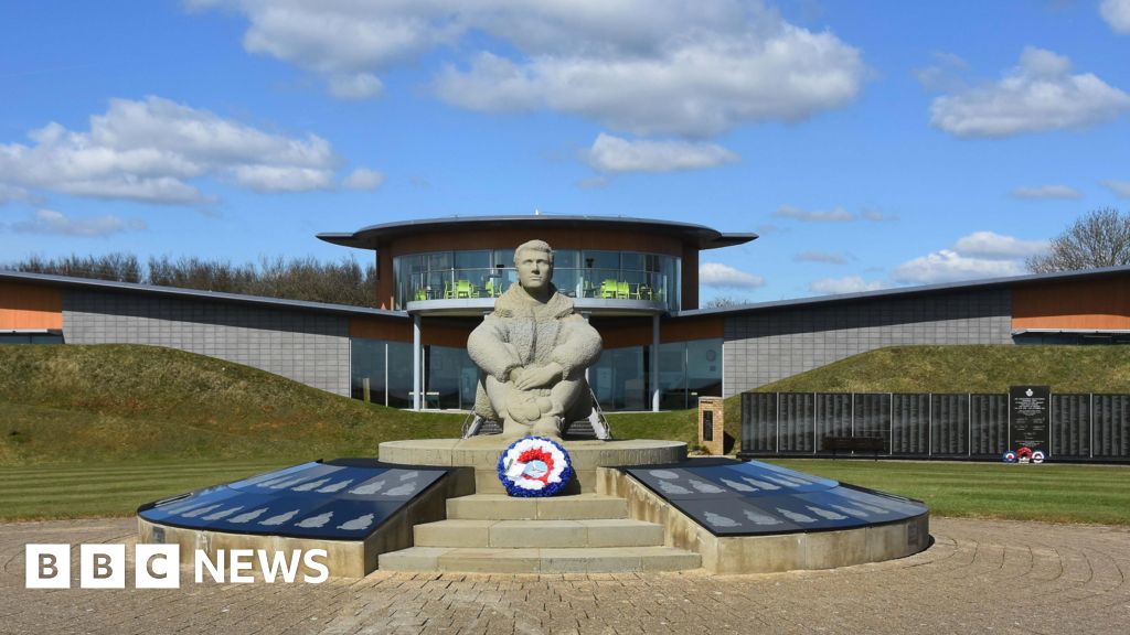 Memorial to The PomonaMemorial · 858 yd
 1798 Insurrection MemorialMemorial · 954 yd
 71Mountain / peak · 1.2 mi
 Blackwater Coastal Erosion Monitoring PointViewpoint · 1.8 mi
 Ballingowan MoteCastle, motte · 2.1 mi
 Ballinesker BeachBeach / strand · 3.6 mi
 Tinnaberna BeachBeach / strand · 4.1 mi
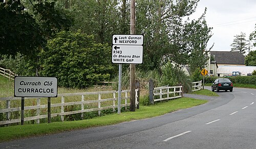 Curracloe BeachBeach / strand · 4.5 mi
Other information
Photo: Credit not shown in the picture search · Rights wording not checked; contact us if this picture should be removed