
More pictures of this place


What is recorded here
It survived after people stopped using it as intended. Built in 1712, the roofless ruins of this Church of Ireland church stand in a graveyard at the centre of an early medieval ecclesiastical site.
Roofless ruinous remains of freestanding Church of Ireland church, built 1712, standing within graveyard at centre of early medieval ecclesiastical site. No roof, gable to east end. Uncoursed rubble limestone walls having remains of lime render visible in places, and squared quoins. Round-headed window opening to east elevation with dressed chamfered limestone surround and vestigial remains of carved tracery. Marble plaques to interior walls. Various grave markers including headstones, table and chest tombs, and slabs with cast-iron railings to grounds. Uncoursed rubble limestone boundary wall having double-leaf cast-iron gate between round-plan rendered rubble limestone piers having granite capping, to north-west of site, with granite steps to footpath. Sited on height at centre of Raheny Village.
Built in 1712, the roofless ruins of this Church of Ireland church stand in a graveyard at the centre of an early medieval ecclesiastical site.
Prominently situated on an elevated site at the centre of Raheny, the church provides an interesting focal point on the landscape and is a significant reminder of the ecclesiastical heritage of the area. Dressed stone to the window surround provides a textural contrast to the rubble stone of the walls. The variety of grave markers, one dating to 1711, lends contextual history to the site. Named after the local patron St. who was thought to be a disciple of St. Patrick, it fell into disused when it was replaced by the nearby All Saints Church in 1889.
The story behind this place
Built in 1712, the roofless ruins of this Church of Ireland church stand in a graveyard at the centre of an early medieval ecclesiastical site.
This does not grant access. Most recorded buildings are privately owned; view them only from public ground unless the owner allows entry.
Places near here
 St Assam's ChurchRuins · 1 yd
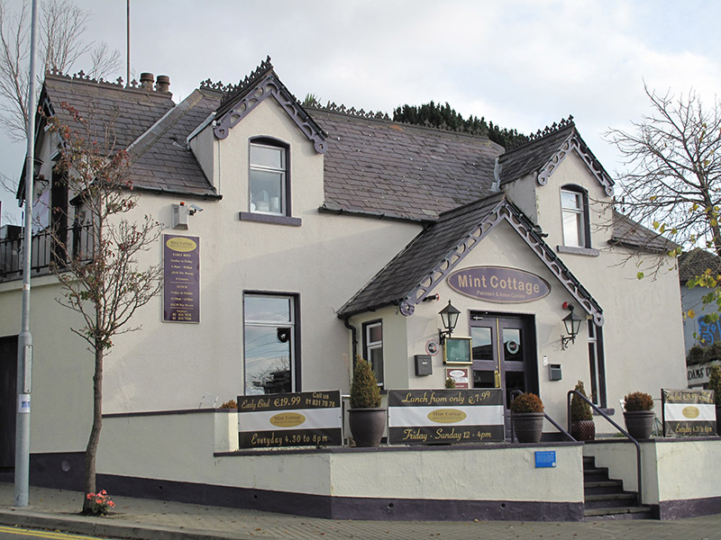 Mint Cottageschool · 23 yd
 Ecclesiastical enclosure in Unknown TownlandEcclesiastical enclosure · 50 yd
 Windmill in Unknown TownlandWindmill · 620 yd
 All Saints Boundary WoodsWood · 680 yd
 St. Annes WoodsWood · 955 yd
 Bull Island Nature ReserveVisitor information · 1063 yd
 Hermit's CaveMonument · 1095 yd
 Ayrfied UnitedHeritage attraction · 1.2 mi
 Battle of ClontarfMajor battlefield · 1.4 mi
 Clontarf War MemorialMemorial · 1.6 mi
 Map of Baldoyle Industrial EstateVisitor information · 1.6 mi
Other information
Photo: SeoR · CC BY-SA 4.0