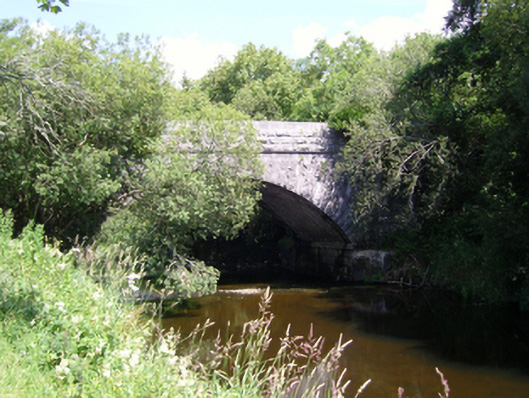
What is recorded here
Single-arch road bridge over river, built 1849-50; extant 1894. Part ivy-covered tuck pointed rock faced limestone ashlar walls between drag edged rock faced limestone ashlar battered piers with drag edged tooled cut-limestone flush stringcourses supporting parapets having drag edged tooled cut-limestone coping. Single segmental arch with drag edged rock faced limestone ashlar radiating voussoirs centred on drag edged rock faced cut-limestone keystones. Sited spanning Robe River with unkempt banks to river.
A bridge identified as an integral component of the mid nineteenth-century civil engineering heritage of south County Mayo on account of the connections with the county-wide programme of famine relief drainage works completed under the Drainage (Ireland) Act, 1846, with the architectural value of the composition, one recalling the so-called "Barrack Bridge" (1849-52) nearby (see 31215010), confirmed not only by the robust rock faced surface finish offset by "sparrow pecked" sheer limestone dressings demonstrating good quality workmanship, but also by the elegant "sweep" of the arch making a pleasing visual statement at a crossing over the Robe River.
This does not grant access. Most recorded buildings are privately owned; view them only from public ground unless the owner allows entry.
Places near here
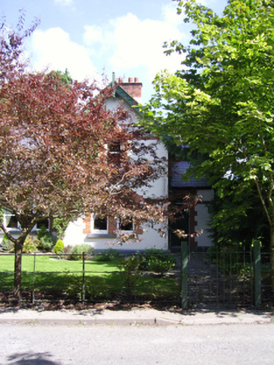 Creagh Housegate lodge · 116 yd
 Killeenatrava in ruinsChurch · 121 yd
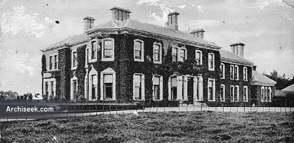 Enclosure in Creagh DemesneEnclosure · 294 yd
 RathkellyFairy fort / earthen ringfort · 690 yd
 CastleCastle, unclassified · 1097 yd
 European ashEuropean ash · 1416 yd
 LabbadermotCave · 1.8 mi
 Castle in ruinsCastle, unclassified · 1.8 mi
 Castle Hag RockIslet · 2.2 mi
 Rat IslandIslet · 2.3 mi
 SycamoreSycamore · 3.4 mi
 Devenish RocksNamed rock · 4.0 mi
Other information
Photo: National Inventory of Architectural Heritage · Website use allowed for educational or private purposes with source credit