What is recorded here
The official Northern Ireland record identifies this as SOUTH MERIDIAN MARKER for ARMAGH OBSERVATORY. Recorded period: C18TH/C19TH. Recorded protection: State Care. The official map point was placed at the centre of the recorded archaeological site from the source map reference.
The monument record does not grant public access. Check the route and ask the landowner before entering private land.
- What survives
- Recorded monument
Places near here
 HENGIFORM ENCLOSURE in BallyheridanHENGIFORM ENCLOSURE · 275 yd
 ENCLOSURE in BallymoranENCLOSURE · 1226 yd
 Primate's ChapelChurch · 1676 yd
 Armagh GaolPrison · 1.4 mi
 Armagh Rail Disaster Memorial SculptureMemorial · 1.5 mi
 Mullacreevie ambushambush · 1.5 mi
 No 5 Vicars' HillMuseum · 1.5 mi
 Crimean CannonMemorial · 1.6 mi
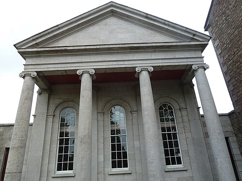 Armagh County MuseumMuseum · 1.6 mi
 Battle of ClontibretMajor battlefield · 1.6 mi
 Abbey StreetVisitor information · 1.6 mi
 Cannon HillViewpoint · 4.5 mi