What is recorded here
No stone still stands at Slevoir, though a rise of ground faces Lough Derg and the land may still hide the castle drawn in the Down Survey. The place has become a gap inside its own history, with memory moving between house, woodland and bog while the lake keeps the view clear. What is missing is not nothing; it is the part the land stopped showing.
Situated on a rise of ground in undulating countryside with extensive views of Lough Derg to the N. Described in the Civil Survey (1654-6) as 'an old ruined castle wholly demolished' (Simington 1934, vol. 2, 312). James Butler of Tullow in Carlow is listed as proprietor in 1640 (ibid.). No visible remains at ground level. A castle in the townland of Slevoir is depicted on the 1654-7 Down Survey map of the barony of Lower Ormond (NLI, MS 721). On this barony map a tower house type castle is depicted standing S of Lough Derg in the E quadrant of the townland surrounded by mature trees. It has been assumed that the 19th century Slevoir House was built on the site of the castle depicted on the Down Survey maps. However it is possible that the medieval castle of Slevoir was located elsewhere within the townland. The 1654-7 Down Survey map of Terryglass parish would suggest that the castle was probably located in the woodland area depicted on the current OS 6-inch map located 360m E of Slevoir House. On this map the castle is shown N of the E edge of a bogland which is depicted on the 1838 ed. OS 6-inch map. This would place the castle in the area occupied by the woodland depicted on the current ed. OS 6-inch maps. The precise location of this castle within the townland of Slevoir has not been identified.
The above description is derived from 'The Archaeological Inventory of County Tipperary. Vol. 1 - North Tipperary' compiled by Jean Farrelly and Caimin O'Brien (Dublin: Stationery Office, 2002). In certain instances the entries have been revised and updated in the light of recent research.
Compiled and revised by: Caimin O'Brien
Date of revised upload: 5 July 2016
Slevoir Castle was likely built during the medieval period, with references to it as an "old ruined castle" in the 1654–56 Civil Survey. Its strategic location on a rise overlooking Lough Derg suggests it may have been important for regional defense or control of local trade routes.
The monument record does not grant public access. Check the route and ask the landowner before entering private land.
- What survives
- Recorded monument
Places near here
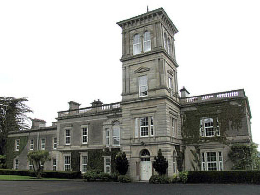 Slevoir Housecountry house · 307 yd
 CrossCross, High cross · 839 yd
 Catholic Church of the Immaculate Conceptionchurch/chapel · 882 yd
 ToberaughanHoly well · 954 yd
 The Cobblers BoxBawn · 1354 yd
 Slevoir BayBay · 1601 yd
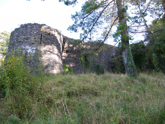 Old CourtCastle, Anglo-Norman masonry castle · 1606 yd
 Roger's IslandIslet · 1.5 mi
 Roach IslandIslet · 1.7 mi
 Black mulberryBlack mulberry · 2.0 mi
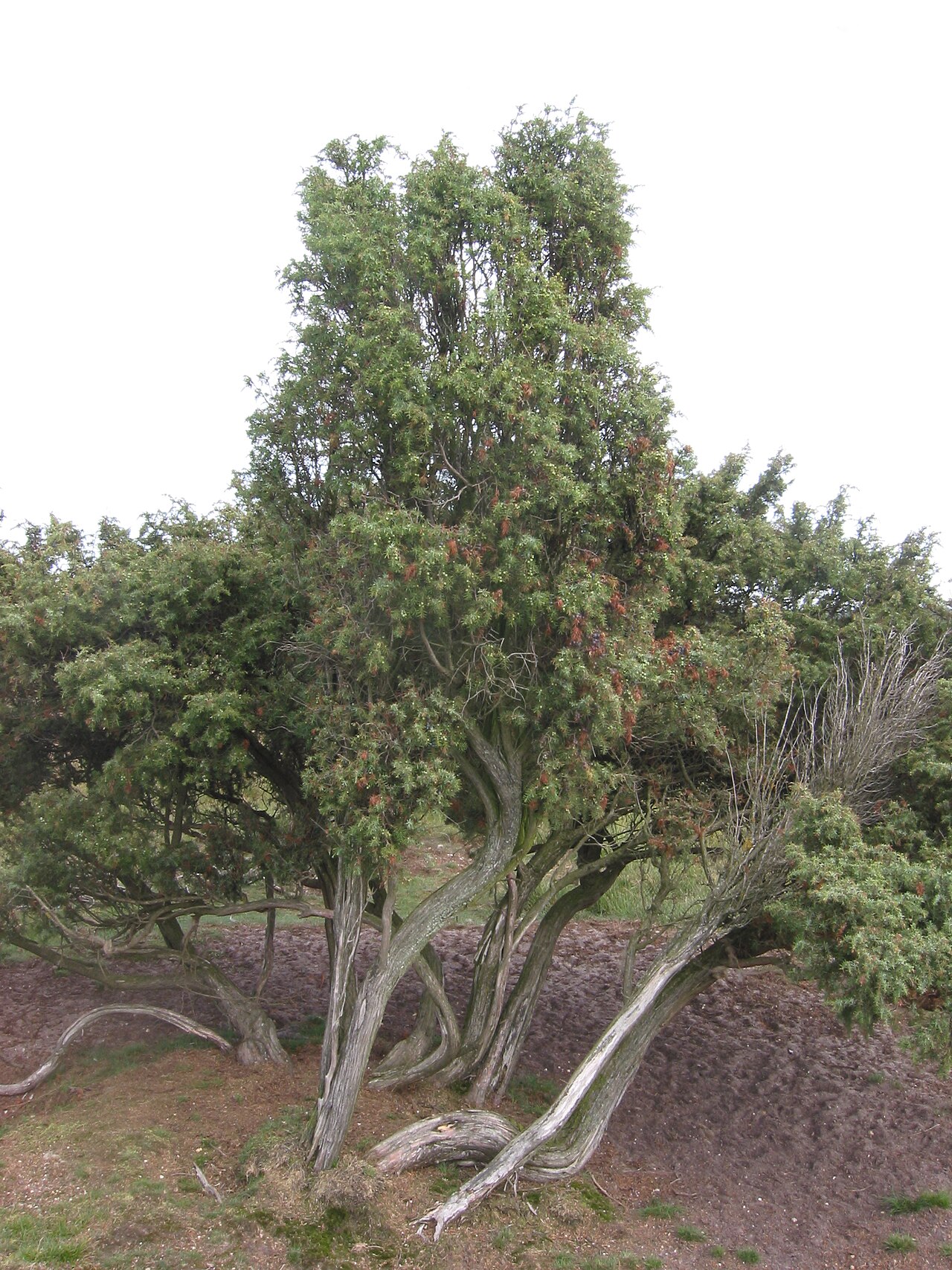 Common JuniperCommon Juniper · 2.0 mi
 Portumna Castlegate lodge · 2.3 mi