What is recorded here
In pasture, straddling the SE side of a rise in gently undulating terrain, with very good views.
Named 'Skehanagh Fort' on the 1838 ad 1922 OS 6-inch maps, this rath consists of a raised, roughly circular area (37.8m E–W; 35m N–S) defined by an earthen bank (Wth 5m, 6.8m at W; int. H 0.4m, 1.1m at W; ext. H 1.8m at N, 1.55m at W). It is built up on the S half to compensate for the natural fall of ground. The bank is best preserved on the W half of the rath, where it has a broad internal and external slump. Elsewhere it has a low internal face, especially degraded at S, but the external slope remains quite substantial. At N–SE a later field wall has been built against the external face of the bank, respecting its curve.
There are several narrow eroded gaps or low areas, but no clearly defined entrance feature. A slight rise is evident in the centre of the interior, from which there is a gently slope to S. Cultivation ridges on a roughly E–W axis traverse the interior, and slightly to N of centre there is a low oblong heap (6m E–W; 3-4m N–S; H 0.4m) of stones. According to local tradition, the interior was used as a children’s burial ground (MA038-075001-).
Compiled by: Jane O'Shaughnessy
Date of upload: 1 August 2019
Skehanagh Fort is a ringfort (rath) likely dating to the early medieval period, characterized by a raised, roughly circular area. It is associated with local folklore surrounding fairy activity, as is common with such sites in Irish tradition.
The monument record does not grant public access. Check the route and ask the landowner before entering private land.
- What survives
- Recorded monument
Places near here
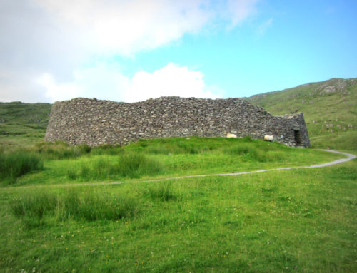 Skehanagh FortArchaeological place · 5 yd
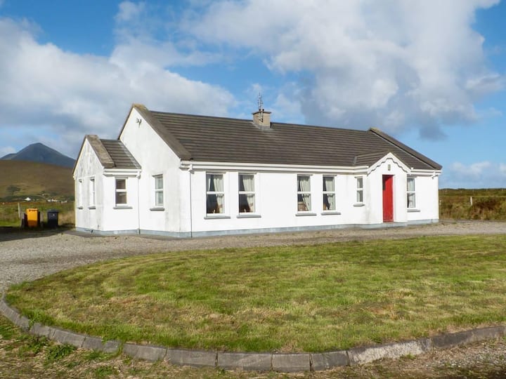 Enclosure in BallyvicmahaEnclosure · 359 yd
 RathmoreCastle, motte · 1636 yd
 Catholic Church of Our Ladychurch/chapel · 1670 yd
 Church in ruinsChurch · 1674 yd
 Ballyduffy CastleCastle, unclassified · 1.3 mi
 Grave of the KingsArchaeological place · 1.4 mi
 Titanic Memorial ParkMemorial · 2.2 mi
 Castle IslandIslet · 2.6 mi
 Roe IslandIslet · 2.9 mi
 NephinMountain / peak · 3.2 mi
 KnockaffertaghMountain / peak · 6.5 mi