What is recorded here
The 1st. edition of the OS 6-inch map indicates a narrow rectangular area (L c.30m NE - SW; Wth c.10m) with a dashed line and names it 'Site of St Kevin's Road'. It runs SW from a cross (WI023-030----).
Date of upload: 18 October 2012
The monument record does not grant public access. Check the route and ask the landowner before entering private land.
- What survives
- Recorded monument
Places near here
 Our Ladys Church (in ruins)Church · 577 yd
 CloigtheachRound tower · 697 yd
 Glendalough Round TowerHeritage attraction · 699 yd
 The Priests Ch. or St. Kevins Library (in RuinsChurch · 702 yd
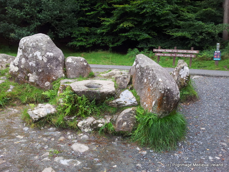 The Deer StoneArchaeological place · 703 yd
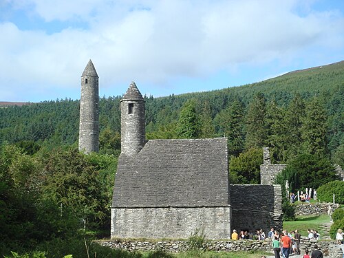 GlendaloughHeritage attraction · 807 yd
 Poulanass WaterfallWaterfall · 1064 yd
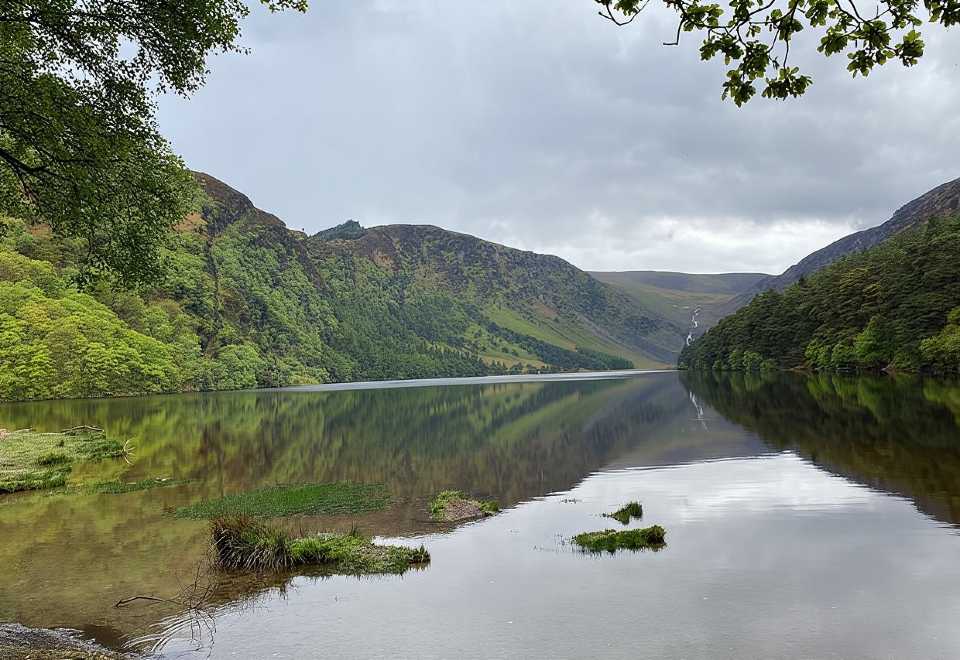 Glendalough CragsCliff · 2.0 mi
 MullacorMountain / peak · 2.3 mi
 CamaderryMountain / peak · 2.3 mi
 Native Woodland Trust: Paddock Hill ReserveWood · 2.5 mi
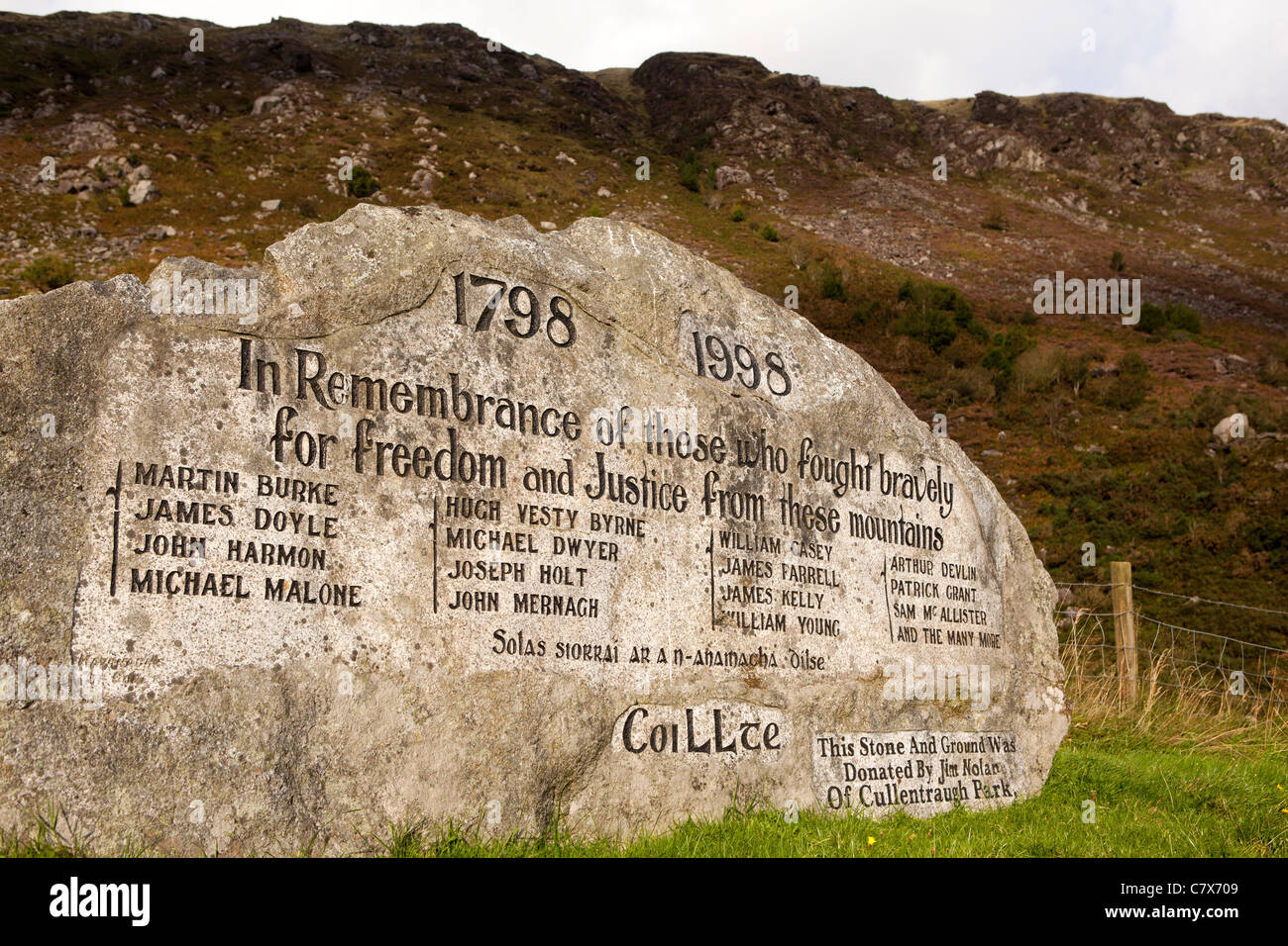 1798 RebellionMemorial · 2.9 mi