
What is recorded here
Kilfelim Church belonged to Phelim and stood inside the little church of St Tiernach, but no building remains. A rectangular earth platform still rises slightly above the pasture, with a lone tree and a broad stone at its southern edge. Local memory claims an altar once occupied that spot, turning the quiet grass into a place where worship may have continued long after the walls disappeared.
Kilfelim church site stands in the townland of Kilfelim (Cill Feidhlim/ church of Phelim), parish of Killeentierna (Cillín Tiarna/little Church of St Tiernach), in the diocese of Ardfert, barony of Trughanacmy. Annotated 'Site of Kilfelim Church' on 1841 ed. OSi 6-inch map where the site of the church is depicted as a rectangular-shaped area delimited by a dotted line. In 1986 the Castleisland District Archaeological Survey recorded that the church site was situated on NW facing slope in pasture and was visible as a roughly rectangular-shaped platform (dims. c. 40.5m N-S x 14.3m E-W; ext. H 0.85m) as depicted on the 1841 ed. OSi 6-inch map. A single tree stood at the S end of the platform with a boulder (dims. L 0.98 x Wth 0.9m x 0.62m) at its base is visible. According to the landowner there was a local tradition that an altar once stood there (SMR File). The stone and tree are visible at S end of earthwork on Digital Globe orthoimage taken 2011-13.
See attached sketch plan of platform surveyed and drawn by the Castleisland District Archaeological Survey and Google Earth orthoimages
Compiled by: Caimin O'Brien
Date of upload: 25 May 2022
The monument record does not grant public access. Check the route and ask the landowner before entering private land.
- What survives
- Recorded monument
Places near here
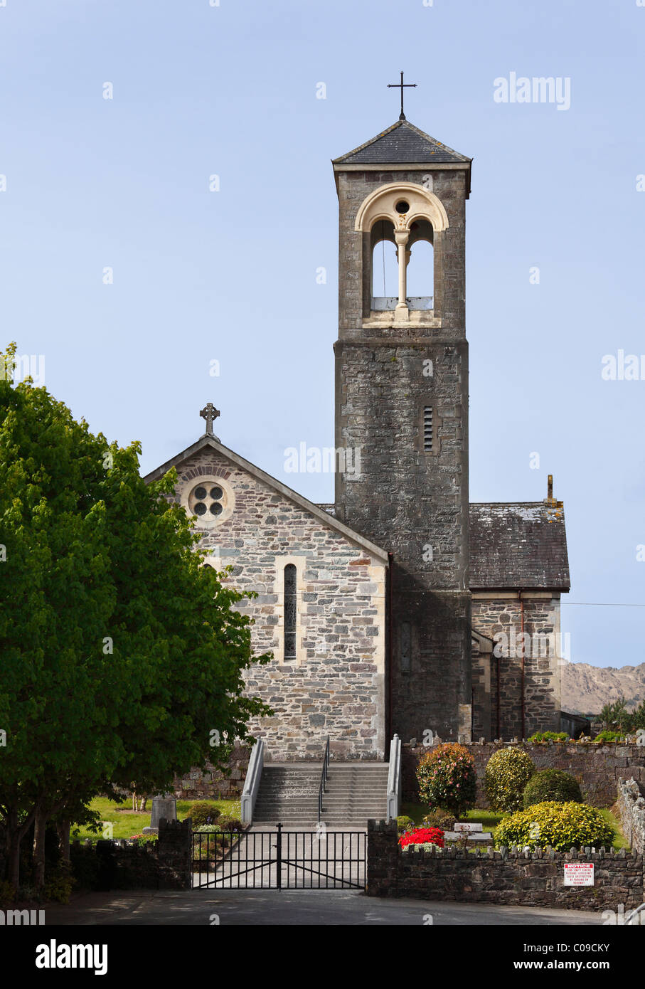 Kilfelim ChurchArchaeological place · 17 yd
 Inchaboy Fort (Remains of)Enclosure · 1050 yd
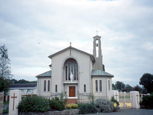 Catholic Church of the Immaculate Conceptionchurch/chapel · 1.1 mi
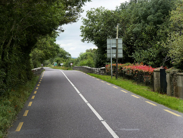 O'Connell Bridgebridge · 1.1 mi
 Site of Currans CastleCastle, unclassified · 1.6 mi
 Castle (in ruins)Castle, Anglo-Norman masonry castle · 3.2 mi
 Crag CaveCave · 4.7 mi
 Common AlderCommon Alder · 6.7 mi
 Ballygamboon Forest Recreation AreaWood · 6.7 mi
 Aghadoe Early Medieval Ecclesiastical SiteHeritage attraction · 8.3 mi
 Famine MemorialMemorial · 8.9 mi
 Stack's MountainMountain / peak · 9.0 mi
Other information
Photo: Credit not shown in the picture search · Rights wording not checked; contact us if this picture should be removed