
What is recorded here
The site of a graveyard is indicated and named on the 1842 OS 6-inch map surrounding Kilmurry Church (CO148-026004-). There are no visible remains of this graveyard.
The above description is derived from the published 'Archaeological Inventory of County Cork. Volume 1: West Cork' (Dublin: Stationery Office, 1992). In certain instances the entries have been revised and updated in the light of recent research.
Date of upload/revision: 14 January 2009
This remains an important historical record, but the official description says the monument is no longer visible or has been destroyed. The monument record does not grant public access. Check the route and ask the landowner before entering private land.
- What survives
- No visible remains or recorded as destroyed
Places near here
 Kilmurry Church (Site of)Church · 64 yd
 Man-made underground passage in LeamconMan-made underground passage · 100 yd
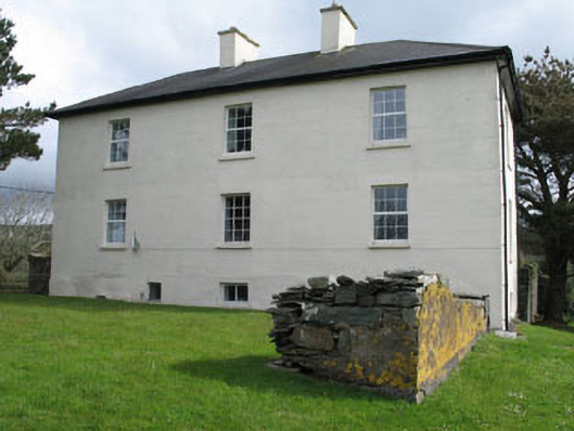 Leamcon Housecountry house · 155 yd
 Country house in LeamconCountry house · 176 yd
 Castle (in Ruins)Castle, unclassified · 234 yd
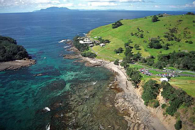 Goat IslandIslet · 1.0 mi
 Green IslandIslet · 1.2 mi
 AltarViewpoint · 1.7 mi
 Ballyrisode PointHeadland · 2.4 mi
 Sailor's HillViewpoint · 2.7 mi
 Ballyrisode WoodWood · 2.7 mi
 Schull HarbourBay · 3.4 mi
Other information
Photo: Credit not shown in the picture search · Rights wording not checked; contact us if this picture should be removed