What is recorded here
Fort Cahernally is a vanished fairy fort in Galway grassland, remembered only as an oval enclosure roughly forty-five by thirty-five metres. People walked past it for centuries, believing the hidden fort still breathed beneath the grass. Then a field boundary bit through its northeast end, erasing even the shadow of its shape. What remains is a clean absence, large enough to hold a chamber, a garden or a small life, yet invisible to every camera and boot sole.
In grassland. Marked on 1st ed. of OS 6-inch map as an oval enclosure (c. 45m by c. 35m). By time of 3rd ed. (1920), its NE end appears to have been truncated by a field boundary. Though known locally as the site of a 'fairy fort', no visible surface trace survives.
The above description is derived from the published 'Archaeological Inventory of County Galway Vol. II - North Galway'. Compiled by Olive Alcock, Kathy de hÓra and Paul Gosling (Dublin: Stationery Office, 1999).
Date of upload: 05 August 2010
The monument record does not grant public access. Check the route and ask the landowner before entering private land.
- What survives
- Recorded monument
Places near here
 Castlehacket National Schoolschool · 898 yd
 CahergortmoreArchaeological place · 1260 yd
 Gortnavaddoge FortArchaeological place · 1332 yd
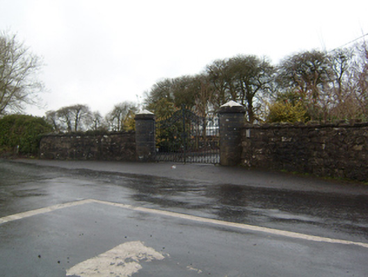 Cahermorris Housedemesne walls/gates/railings · 1.6 mi
 Site of CastleCastle, unclassified · 1.7 mi
 Kilcoona Round TowerHeritage attraction · 1.8 mi
 KnockmaaWood · 2.2 mi
 Cashlaun Feecul in ruinsCastle, unclassified · 2.5 mi
 Ballinduff BayBay · 4.0 mi
 Cregg Castle DemesneForest · 4.8 mi
 Walsh's IslandIslet · 5.6 mi
 Mass RockNamed rock · 5.6 mi