
What is recorded here
This site is marked 'fort' on the 1837 edition of the OS 6-inch map and 'site of burials' on the OS 1937-8 edition. It was excavated in 1934 by the National Museum and removed prior to landscaping by Dublin Corporation in 1964 (Appleyard 1985, 162-3). The mound was irregular in shape with many depressions on the surface ( Diam. 23m,H 0.07m). The excavation produced skeletons and an iron stirrup at a depth of 0.16m below the sod. Approximately twelve further skeletons were exposed in ttwo levels of the mound in the 1960's operations. No evidence for any structure or grave slabs associated with either level of burial was apparent (Cahill & Sikora 2011, 318-323). There are no visible remains at ground level.
Compiled by: Geraldine Stout
Date of upload: 14 February 2013
This remains an important historical record, but the official description says the monument is no longer visible or has been destroyed. The monument record does not grant public access. Check the route and ask the landowner before entering private land.
- What survives
- No visible remains or recorded as destroyed
Places near here
 Stardust MemorialMemorial · 47 yd
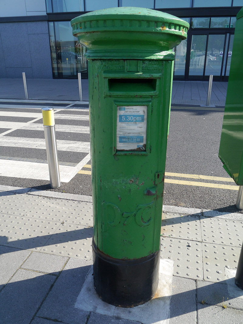 post boxpost box · 452 yd
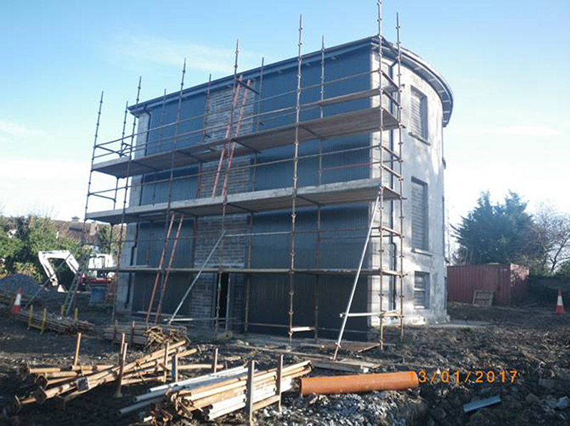 Woodville Housecountry house · 639 yd
 MoatMound · 1005 yd
 St. Brendans WellHoly well · 1267 yd
 EolasVisitor information · 1690 yd
 Airways Industrial EstateVisitor information · 1.3 mi
 Graveyard in Unknown TownlandGraveyard · 1.4 mi
 St Catherine's WellSpring · 1.8 mi
 Millennium ArboretumWood · 1.8 mi
 Casino at MarinoHeritage attraction · 1.9 mi
 All Saints Boundary WoodsWood · 1.9 mi
Other information
Photo: Credit not shown in the picture search · Rights wording not checked; contact us if this picture should be removed