What is recorded here
Kill is a subrectangular enclosure and field beside a vanished circular burial ground in County Cork, where two upright stones once marked a grave before the earth swallowed the rest. The name kill still belongs to the land, perhaps preserving a forgotten person or simply describing a narrow valley, while the larger ecclesiastical enclosure suggests worship and death shared one boundary. Nothing visible remains except the shape of the field and the certainty that people were buried there.
Marked only on 1842 OS 6-inch map, shown as subcircular enclosure (c. 33m N-S; c. 30m E-W), with two upright stones marking a possible burial (CO061-017001-) within N side; subrectangular enclosure (9180) adjacent to E. According to Hartnett (1939, 192), enclosure (9180) and field in which it stands both known as "kill". Site lies within SW segment of possible early ecclesiastical enclosure (9204). No surface remains of burial ground.
The above description is derived from the published 'Archaeological Inventory of County Cork. Volume 3: Mid Cork' (Dublin: Stationery Office, 1997). In certain instances the entries have been revised and updated in the light of recent research.
Date of upload/revision: 14 January 2009
The monument record does not grant public access. Check the route and ask the landowner before entering private land.
- What survives
- Recorded monument
Places near here
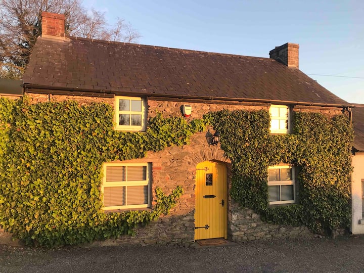 Enclosure in Kilcullen SouthEnclosure · 1 yd
 Man-made underground passage in Kilmartin LowerMan-made underground passage · 720 yd
 Saint Bartholomew's WellSpring · 1176 yd
 Dripsey Bridge (Lower)Bridge · 1.1 mi
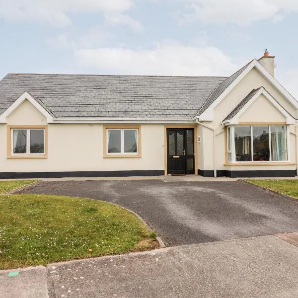 Mountrivers HouseCountry house · 1.5 mi
 Oldcastle WoodWood · 2.5 mi
 New TipperaryVisitor information · 2.9 mi
 Knockduff Wind FarmVisitor information · 3.7 mi
 Mullinhassig WaterfallWaterfall · 4.0 mi
 Mullinhassig WoodWood · 4.0 mi
 Carrignamuck Tower HouseCastle · 4.1 mi
 Knockcraugh HillMountain / peak · 4.4 mi