What is recorded here
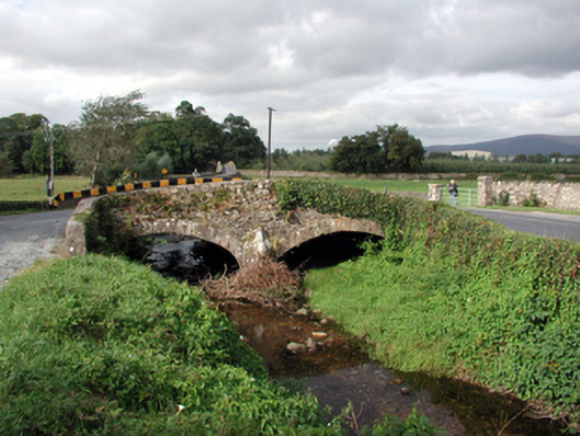
A six-arch bridge spanning the River Suir into Co. Tipperary was built by Sir Thomas Osborne in the late 17th century. It was originally symmetrical with seven arches, but two were combined and the river deepened to provide a boat channel on the Tipperary side in the 18th century. There are four cutwaters on the central piers at the W (upstream) side. The carriageway is 3.4m wide (O'Keeffe and Simington 1991, 205-6). Cross-reference with TS083-022----.
The above description is derived from the published 'Archaeological Inventory of County Waterford' (Dublin: Stationery Office, 1999). In certain instances the entries have been revised and updated in the light of recent research.
Compiled by: Michael Moore
Date of upload/revision: 10 September 2010
The monument record does not grant public access. Check the route and ask the landowner before entering private land.
- What survives
- Recorded monument
Places near here
 Sir Thomas's Bridgebridge · 3 yd
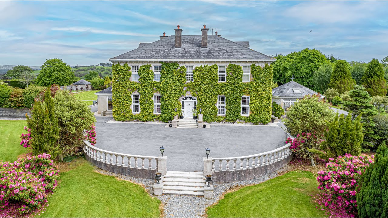
 Historic buildingOfficially recorded historic building · 188 yd
 Enclosure in Tikincor LowerEnclosure · 842 yd
 Kilgainy Castle (in ruins)Castle, tower house · 1257 yd
 Tikincor WoodForest · 1298 yd
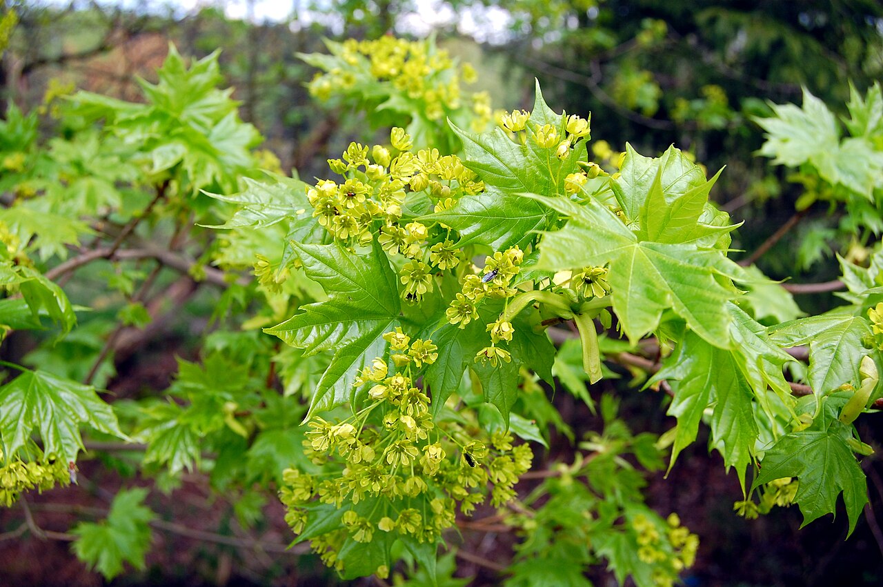 Norway MapleNorway Maple · 1311 yd
 Derrinlaur Castle (in ruins)Castle, tower house · 1330 yd
 IndicatedFairy fort / earthen ringfort · 1505 yd
 LaheirkeMountain / peak · 1.7 mi
 RetrospectMemorial · 1.9 mi
 Long HillMountain / peak · 1.9 mi
 Charles BianconiMemorial · 2.2 mi