What is recorded here
KE104A-001002- Shrine: On the oratory terrace (KE104A001011-), high up on the S side of the South Peak. 'Three upright slabs occur on the NE extension to the terrace. Two of these, each 0.35m high, stand at right angles to each other, while the third, located 0.45m to SW, is 0.25m high. It has been suggested that they are the remains of a reliquary shrine (Horn et. al., 50).' (O'Sullivan and Sheehan 1996, 278-90, no. 948 (31)). The siting of this shrine was described in 1990 as follows; 'The eastern extension of the terrace measures roughly 7 by 3 meters. A narrow triangular-shaped space, it slopes steeply to both the south and the east and was originally joined to the principal terrace by a wall. The extension is clearly part of the original plan for the terrace, an integral part of its construction' (Horn et. al. 1990, 50).
See attached figure 41 taken from Horn, W., White Marshall, J. and Rourke, G. 1990 The forgotten hermitage of Skellig Michael and plan of south terrace taken from O'Sullivan and Sheehan 1996, 282.
The above description is derived from A. O'Sullivan and J. Sheehan (compilers), 'The Iveragh peninsula: an archaeological survey of South Kerry'. Cork University Press (1996), no. 948. In certain instances the entries have been revised and updated in the light of recent research.
Revised by: Caimin O'Brien
Date of revised upload: 28 February 2022
The monument record does not grant public access. Check the route and ask the landowner before entering private land.
- What survives
- Recorded monument
Places near here
 Church in Sceilg MhichílChurch · 6 yd
 Sceilg MhíchílMountain / peak · 42 yd
 Sceilig MhichílIslet · 84 yd
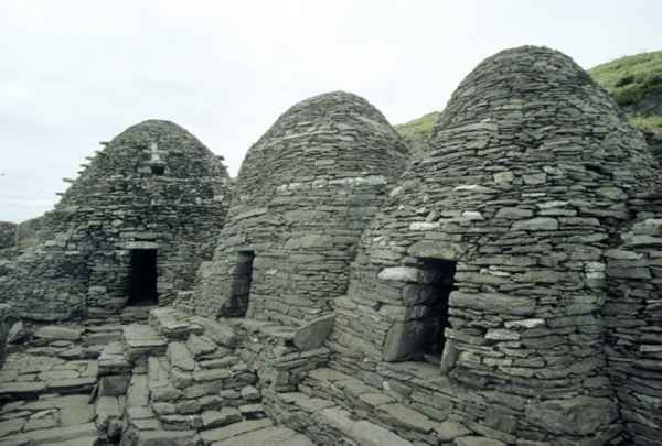 CrossCross · 105 yd
 Enclosure in Sceilg MhichílEnclosure · 161 yd
 North PeakMountain / peak · 205 yd
 Skellig MonasteryHeritage attraction · 228 yd
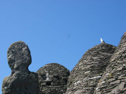 Church (in Ruins)Church · 242 yd
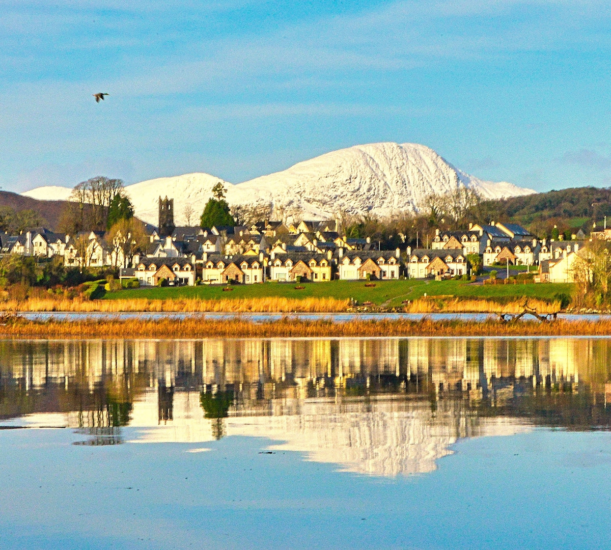 Pointe na bhFaoileannHeadland · 595 yd
 Sceilig BheagIslet · 1.6 mi
 LéimeHeadland · 7.0 mi
 Tráigh na SplinceBeach / strand · 8.7 mi