
What is recorded here
Terraced three-bay three-storey building, built c.1830, with two-bay two-storey catslide extension to rear and corrugated steel-sheeted accommodation suspended over vehicular access passage on east side of rear, north, elevation. Pitched roof with fibre-cement slates and ridge, having brick chimneystack with over-sailing course to west gable wall, and cast-iron half-round gutters held on small stone cornice with round-profile downpipes. Ashlar granite walls to front façade with projecting sandstone sill courses and block-and-start stone surrounds to window openings. Rear walls of plain painted brick, with stone to base. Square-headed window openings have replacement uPVC frames throughout. Ground floor painted and smooth rendered with aluminium shopfront and plastic printed fascia. On west side of façade is three-centred arch vehicular access opening with round stone wheel stop on one side and projecting rounded stone base to painted brick walls on either side of passageway leading to rear yard. Twelve-bay two-storey range of gabled slated stables and outhouses to rear of property with painted rubble stone walls with brick dressings.
With its ashlar stone façade this building stands out from those adjoining on either side which are more typical throughout Castleblayney, generally with painted render finish. The traditionally arranged fenestration enables the rhythm of the streetscape here to continue while the high-quality exposed stonework adds a degree of variety to the composition of the streetscape.
This does not grant access. Most recorded buildings are privately owned; view them only from public ground unless the owner allows entry.
Places near here
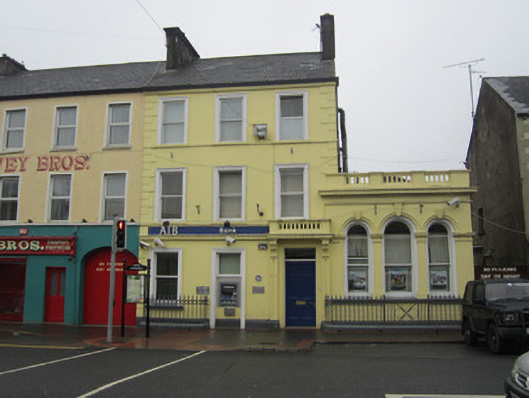 Allied Irish Bankhouse · 92 yd
 Castleblayney Post Officehouse · 118 yd
 Big Tom Memorial StatueMemorial · 309 yd
 Bawn in OnomyBawn · 561 yd
 Blaney CastleCastle · 594 yd
 The CrescentMemorial · 665 yd
 Harper's IslandIslet · 1.0 mi
 Lough MucknoLake and park landscape · 1.1 mi
 Garmany's IslandIslet · 1.1 mi
 Monaghan WayWalking route · 1.3 mi
 Fortification in ConcraFortification · 1.6 mi
 Dairy HillMountain / peak · 1.7 mi
Other information
Photo: National Inventory of Architectural Heritage · Website use allowed for educational or private purposes with source credit