What is recorded here
On lower NE slopes of Knocknadobar, the ruined remains of a circular, corbelled drystone structure. Collapse and overgrowth obscure the walling. D: 4.7m x 3.95m. H: .7m.
The above description is derived from A. O'Sullivan and J. Sheehan (compilers), 'The Iveragh peninsula: an archaeological survey of South Kerry'. Cork University Press (1996), no. 1365. In certain instances the entries have been revised and updated in the light of recent research.
Date of upload: 1 August 2013
The monument record does not grant public access. Check the route and ask the landowner before entering private land.
- What survives
- Recorded monument
Places near here
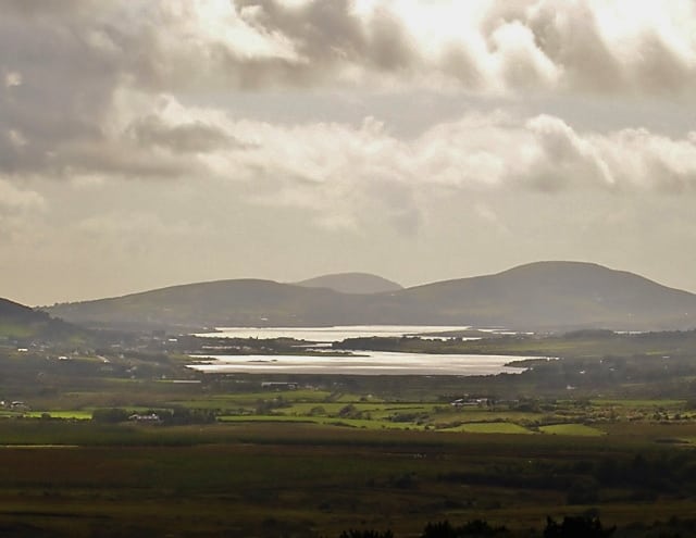 Man-made underground passage in CahernamanMan-made underground passage · 1579 yd
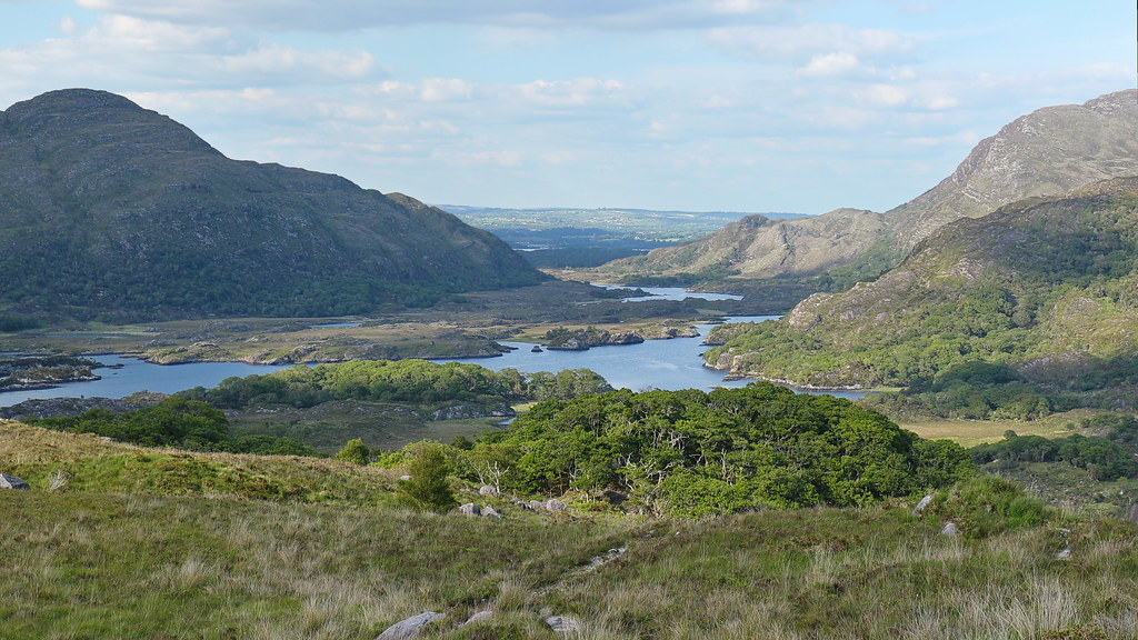 LisnalourFairy fort / earthen ringfort · 1739 yd
 Soft Tree-fernSoft Tree-fern · 1.2 mi
 Chilean wine palmChilean wine palm · 1.3 mi
 Kells Mtn East TopMountain / peak · 1.3 mi
 Kells BeachBeach / strand · 1.4 mi
 Church in CaherlehillanChurch · 1.6 mi
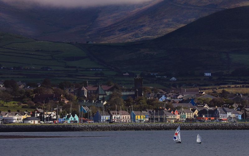 Mount FoleyMountain / peak · 1.7 mi
 Sheep Dog TrainingHeritage attraction · 2.2 mi
 Gleensk Viaductbridge · 2.3 mi
 FeaklecallyHeadland · 3.1 mi
 Mountain StageViewpoint · 3.6 mi