What is recorded here
Stone huts still stand in County Fermanagh, though no date is certain for when people last walked between them. The chambers may have sheltered farmers, travellers or someone forgotten by history. Their stones remain clear enough to imagine hands stacking them, fires burning inside and voices carrying through narrow doors.
The official Northern Ireland record identifies this as SETTLEMENT SITE - STONE HUTS. Recorded period: UNCERTAIN. The official map point was placed at the centre of the recorded archaeological site from the source map reference.
The monument record does not grant public access. Check the route and ask the landowner before entering private land.
- What survives
- Recorded monument
Places near here
 HOLY WELL: TOBERNASOOL in KilleeHOLY WELL: TOBERNASOOL · 1.7 mi
 A.P. SITEA.P. SITE, enclosure · 1.8 mi
 St. Mary's RC ChurchChurch · 2.1 mi
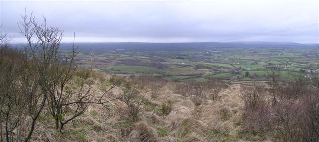 Brougher MountainMountain / peak · 2.3 mi
 Pubble ForestForest · 2.6 mi
 MULTIPERIOD CHURCH & GRAVEYARD in MagheracrossMULTIPERIOD CHURCH & GRAVEYARD · 2.8 mi
 Topped MountainMountain / peak · 3.2 mi
 Christ Church (CoI)Church · 3.5 mi
 CASTLE (unlocated) in DrumkeenCASTLE (unlocated) · 3.5 mi
 C17th DEFENDED HOUSE & BAWN: TRILLICK CASTLE in Castlemervyn DemesneC17th DEFENDED HOUSE & BAWN: TRILLICK CASTLE · 4.3 mi
 Cherry IslandIsland · 5.0 mi
 Coneyburrow WoodWood · 5.6 mi