What is recorded here
Moordyke in County Antrim holds a settlement site where human life once clustered despite the uncertain dates surrounding it. The exact era eludes definition, yet the ground itself remembers the presence of people who shaped that place. Uncertainty does not erase the fact that hands worked the soil and bodies moved through the space. What is known is that settlement occurred; what is lost is when and why they came.
The official Northern Ireland record identifies this as SETTLEMENT SITE. Recorded period: UNCERTAIN. The official map point was placed at the centre of the recorded archaeological site from the source map reference.
The monument record does not grant public access. Check the route and ask the landowner before entering private land.
- What survives
- Recorded monument
Places near here
 A.P. SITEA.P. SITE, oval enclosure & field boundaries · 930 yd
 ENCLOSURE?: FORT (O.S. memoir site, unlocated) in DemesneENCLOSURE?: FORT (O.S. memoir site, unlocated) · 1087 yd
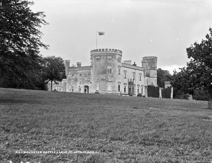 TOWER-HOUSE & BAWN: KILWAUGHTER CASTLE in DemesneTOWER-HOUSE & BAWN: KILWAUGHTER CASTLE · 1.1 mi
 Kilwaughter CastleCastle · 1.1 mi
 Ballyboley ForestForest · 2.7 mi
 Larne War MemorialMemorial · 3.7 mi
 Ulster BankBank · 3.8 mi
.jpg?width=1280) Town HallTown hall · 3.8 mi
Town HallTown hall · 3.8 mi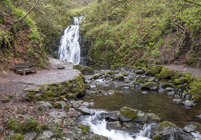 Glenoe WaterfallWaterfall · 4.0 mi
 Garden TrailWalking route · 4.7 mi
 MV Princess Victoria MemorialMemorial · 4.8 mi
 BallycoosMountain / peak · 4.8 mi