What is recorded here
Corporation holds a medieval settlement site where human life once clustered beneath open skies. The exact layout has faded, but the ground still carries the shape of that lost routine. People may have built, argued, loved and abandoned the place before memory failed.
The official Northern Ireland record identifies this as SETTLEMENT SITE. Recorded period: MEDIEVAL. The official map point was placed at the centre of the recorded archaeological site from the source map reference.
The monument record does not grant public access. Check the route and ask the landowner before entering private land.
- What survives
- Recorded monument
Places near here
 Armagh FriaryArchaeological place · 262 yd
 Bank Of IrelandBank · 273 yd
 ARMAGH FRANCISCAN FRIARY in Parkmore OR DemesneARMAGH FRANCISCAN FRIARY · 276 yd
 Gospel HallHall · 292 yd
 Armagh Rail Disaster Memorial SculptureMemorial · 309 yd
 Crimean CannonMemorial · 383 yd
 No 5 Vicars' HillMuseum · 386 yd
 Battle of ClontibretMajor battlefield · 401 yd
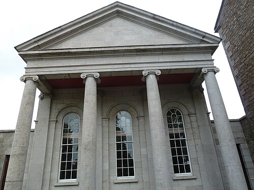 Armagh County MuseumMuseum · 448 yd
 Battle of the Yellow FordMajor battlefield · 476 yd
 Abbey StreetVisitor information · 500 yd
 Cannon HillViewpoint · 3.4 mi