What is recorded here
In rollling grassland to the E and SE of a castle (KK003-032----) and bawn (KK003-032001-). According to Carrigan (1905, vol. 2, 280), ‘The site of what is called the “town of Whiteswall” can be traced immediately outside the Parks, in Mr. Doherty’s land’. In the field where the castle and bawn are located and in the neighbouring field to the E there are a number of earthworks. While they do not form any readily recognisable pattern, it is possible that they are the remains of a settlement associated with the castle. These earthworks include a number of small enclosures on a small hillock defined by earth and stone banks (av. Wth 2m; H 0.5-1m). The field has been largely reclaimed.
Compiled by: Jean Farrelly
Date of upload: 8 February 2016
The monument record does not grant public access. Check the route and ask the landowner before entering private land.
- What survives
- Recorded monument
Places near here
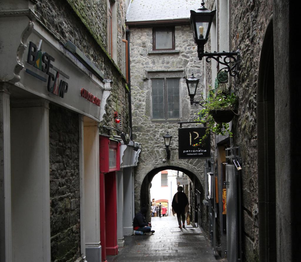 Bawn in WhiteswallBawn · 220 yd
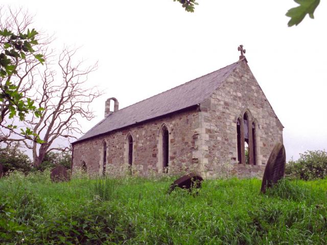 Church in WhiteswallChurch · 1216 yd
 Enclosure in Castletown (galmoy By.)Enclosure · 1489 yd
 RathbaneConcentric enclosure · 1628 yd
 Church in Kyle (clandonagh By., Kyle South Ed)Church · 1735 yd
 Cnoc SeanrathaMemorial · 1.1 mi
 Cody's CastleCastle · 1.3 mi
 Street fieldArchaeological place · 3.2 mi
 Big WoodWood · 4.5 mi
 DelaneyMemorial · 4.5 mi
 St. Mary's Famine and War MuseumMuseum · 13 mi
 Famine & War MuseumMuseum · 13 mi