What is recorded here
On top of a low rise of ground flat pasture with good views in all directions. Poorly drained marshy land to the N, hall house (TS043-005002-) to the S and church (TS043-005001-) to the SW. Faint outline of levelled field bank to NW of castle may be early field boundary associated with nearby castle, no other features visible, the field which may have levelled earthworks visible on an aerial photograph (CUCAP, BDL 43) taken in 1970 has been reclaimed and reseeded with grass.
Compiled by: Jean Farrelly
Date of upload: 26 August 2011
The monument record does not grant public access. Check the route and ask the landowner before entering private land.
- What survives
- Recorded monument
Places near here
 Black CastleCastle, hall-house · 147 yd
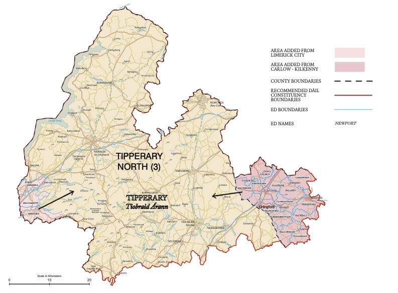 IndicatedEnclosure · 416 yd
 St. Patricks WellHoly well · 1102 yd
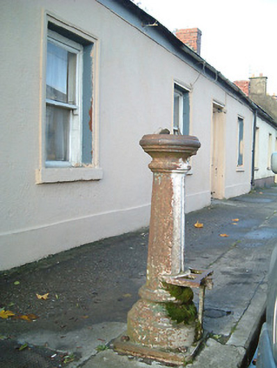 water pumpwater pump · 1560 yd
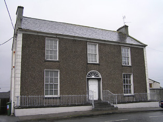 Townview Househouse · 1616 yd
 Fennor Castle (in Ruins)Castle, unclassified · 1672 yd
 KilcooleyForest · 2.4 mi
 Kilcooly AbbeyHeritage attraction · 2.6 mi
 Serpentine WoodForest · 2.6 mi
 John HelyMemorial · 2.9 mi
 DelaneyMemorial · 3.0 mi
 Clomantagh HillMountain / peak · 3.6 mi