What is recorded here
Mogeely Castle in County Cork, Ireland, holds the buried bones of Sir Walter Raleigh's English settlement, a place where ambitious men built stone rooms and dug deep ditches before abandoning the land to grass and forgetting. The house plots still resist the soil, their sharp edges waiting beneath the plough, while animal bones and broken pottery test the patience of anyone digging for answers. Raleigh fled or failed, but the ground kept his shape, preserving the exact moment human pride collided with Irish earth.
Remains of Sir Walter Raleigh's English settlement at Mogeely Castle (C0037-007---), located in Summer 1990 by remote sensing techniques. Resistivity survey showed several areas of high resistance, suggesting house sites, and long lines of low resistance, indicative of infilled ditches. Irregularities in natural slope, highlighted by surface elevation measurements, may indicate house enclosures (Klingelhofer 1991a, 19). Excavations in 1991 revealed badly plough-damaged remains of rectangular stone structure (c. 12m NE-SW; c. 8m NW-SE) and shallow pit, on site of SW-most house plot in Raleigh's village. 16th\17th-century pottery and animal bones also found. House site overlay curving ditch (Wth 2.1m; D 0.9m), possibly associated with castle, or medieval church (CO046-008002-) across lane to E (Klingelhofer 1991b).
See Excavations 1991, 9-10.
The above description is derived from the published 'Archaeological Inventory of County Cork. Volume 2: East and South Cork' (Dublin: Stationery Office, 1994). In certain instances the entries have been revised and updated in the light of recent research.
Date of upload/revision: 14 January 2009
The monument record does not grant public access. Check the route and ask the landowner before entering private land.
- What survives
- Recorded monument
Places near here
 Mogeely Church (in Ruins)Church · 97 yd
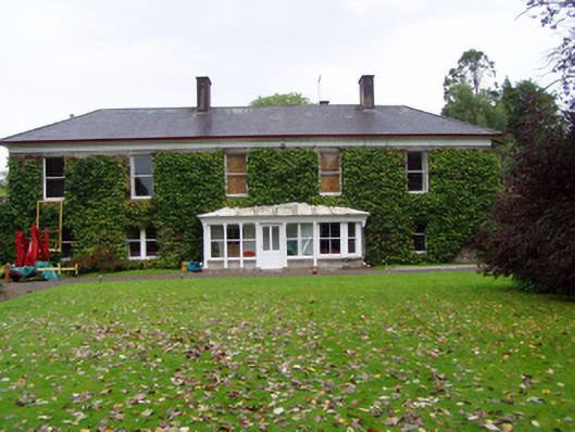 Mogeely Housecountry house · 196 yd
 Mogeely CastleCastle · 258 yd
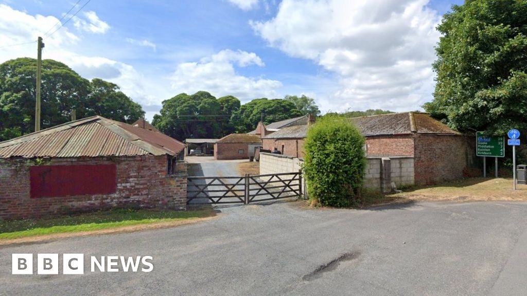 Settlement desertedSettlement deserted, medieval · 939 yd
 Graveyard in Curraheen (kinnatalloon By.)Graveyard · 1670 yd
 CastleCastle, unclassified · 1.4 mi
 Field system in ConnaField system · 1.5 mi
 Castlebrook forestWood · 1.5 mi
 Tallow HillMountain / peak · 3.2 mi
 Aghern CemeteryWood · 3.6 mi
 Mocollop Picnic SitePicnic place · 4.0 mi
 Salt HillMountain / peak · 4.7 mi