
What is recorded here
In centre of graveyard (CO046-00801-), ivy-clad ruins of rectangular gabled church (int. 16m E-W; 5.9m N-S) with roughly square annexe (int. 6.8m E-W;7m N-S) at E end of N wall. S and W walls (Wth c. 0.8m) earlier than E (Wth 0.87m) and N (Wth 0.65m); N wall not keyed-in at either end, foundation of earlier wall projects on outside. E wall continues beyond line of N wall to form part of annexe. W wall projects (c. 0.6m) beyond line of N wall but ends with broken edge. Two window opes in S wall, widely splayed, with pointed masonry arches; two ruined window opes in N wall and one in centre of E wall; blocked door ope near W end of S wall; wide central gap in W wall probably marks position of door and attic window overhead. Annexe has trace of gable on N wall, probably used as vestry but later converted to burial place of Croker family; entered by iron gate in W wall (Waters 1927, 54-5); on N wall two limestone plaques; upper one has skull and crossbones and inscription 'Memento Mori', immediately below is Latin inscription to Coppinger family (given in Waters ibid., 55). On W side ofthese is rectangular stone with armorial plaque and inscription to Walter Croker dated 1700 (ibid.). Parish church of Mogeely, reported in repair in 1615, 1694 and 1774 (Brady 1863, vol. 2, 349-50); replaced by new C of I church built in Curraglass in 1778, of which only the foundations survive in overgrown churchyard.
The above description is derived from the published 'Archaeological Inventory of County Cork. Volume 2: East and South Cork' (Dublin: Stationery Office, 1994). In certain instances the entries have been revised and updated in the light of recent research.
Date of upload/revision: 14 January 2009
A local church or high cross; wider significance not recorded.
The monument record does not grant public access. Check the route and ask the landowner before entering private land.
- What survives
- Recorded monument
Places near here
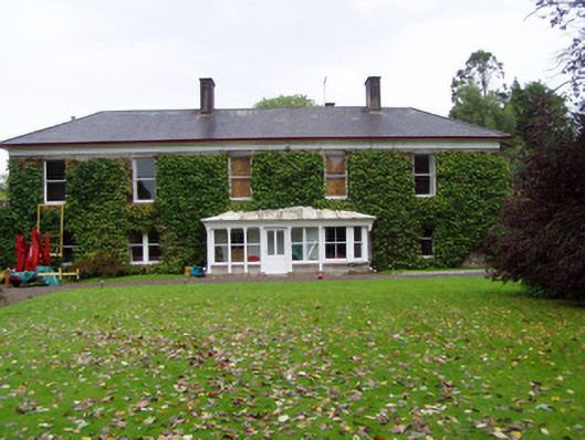 Mogeely Housecountry house · 204 yd
 Mogeely CastleCastle · 216 yd
 Mogeely Bridgebridge · 362 yd
 Settlement desertedSettlement deserted, medieval · 956 yd
 Graveyard in Curraheen (kinnatalloon By.)Graveyard · 1754 yd
 CastleCastle, unclassified · 1.4 mi
 Field system in ConnaField system · 1.6 mi
 Castlebrook forestWood · 1.6 mi
 Tallow HillMountain / peak · 3.1 mi
 Aghern CemeteryWood · 3.7 mi
 Mocollop Picnic SitePicnic place · 4.0 mi
 Salt HillMountain / peak · 4.8 mi
Other information
Photo: Credit not shown in the picture search · Rights wording not checked; contact us if this picture should be removed