
What is recorded here
Six-arch hump-back road bridge over River Bride, built c. 1810. Rubble limestone walls with rubble parapets having rounded render copings and square-profile piers having rounded render caps. Roughly dressed limestone voussoirs to round arches, having V-cutwaters to both elevations.
Textural interest is provided by the contrast between the roughly dressed voussoirs and the rubble stone walls which terminate in ornate piers with rounded caps. The generously-sized round arches, cutwaters and steepness of the humpback add interest to the surrounding landscape and the bridge is a testament to the skills of local stonemasons and ealry nineteenth-century bridge technology.
This does not grant access. Most recorded buildings are privately owned; view them only from public ground unless the owner allows entry.
Places near here
 Mogeely CastleCastle · 146 yd
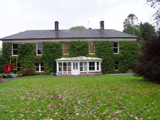 Mogeely Housecountry house · 222 yd
 Mogeely Church (in Ruins)Church · 362 yd
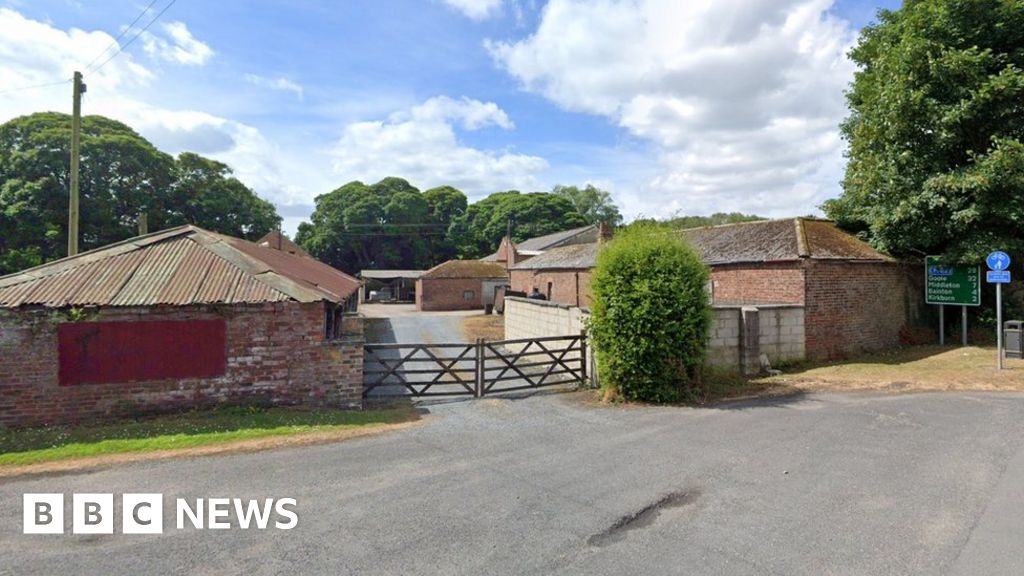 Settlement desertedSettlement deserted, medieval · 657 yd
 Graveyard in Curraheen (kinnatalloon By.)Graveyard · 1691 yd
 Field system in ConnaField system · 1.5 mi
 Castlebrook forestWood · 1.5 mi
 Sheanmore Castle (in ruins)Castle, tower house · 1.5 mi
 Tallow HillMountain / peak · 3.2 mi
 Aghern CemeteryWood · 3.6 mi
 Mocollop Picnic SitePicnic place · 3.8 mi
 Salt HillMountain / peak · 4.9 mi
Other information
Photo: National Inventory of Architectural Heritage · Website use allowed for educational or private purposes with source credit