What is recorded here
Eight acres of rectangular plots still mark the ground in County Meath, bounded by an old mill race and scattered across six distinct sections. Five house platforms remain visible beside two much larger areas, suggesting a compact community rather than a temporary camp. The nearby church and castle point to a late medieval origin, while the abandoned grid preserves the shape of daily life long after its people departed.
The following description is derived from the published 'Archaeological Inventory of County Meath' (Dublin: Stationery Office, 1987). In certain instances the entries have been revised and updated in the light of recent research.
Date of upload/revision: 10 July 2007
Banks and scarps creating rectangular plots (dims. c. 25m by c. 15m) of which there are six, some with distinct house foundations and two larger plots (dims. c. 60m by c. 30m). Plots, arranged on grid plan, separated by sunken trackways (W at bottom c. 5m). Five house platforms can be recognised with certainty. Old mill race defines E and S edge of settlement which covers c. 8 acres. Church (ME032-044----) and castle (ME032-042----) on ridge to S and, like these monuments, settlement may be late medieval.
The monument record does not grant public access. Check the route and ask the landowner before entering private land.
- What survives
- Recorded monument
Places near here
 Macetown CastleCastle, tower house · 209 yd
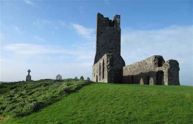 Church (in Ruins)Church · 236 yd
 RuinChurch · 1653 yd
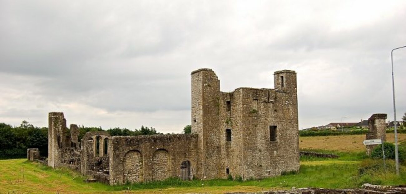 Enclosure in Painestown (skreen By.)Enclosure · 1656 yd
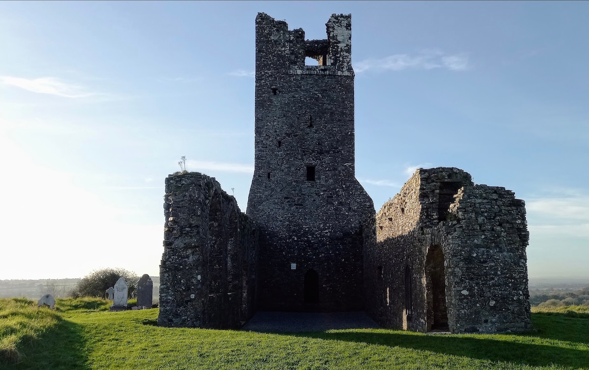 CastleCastle, motte · 1753 yd
 Enclosure in RathfeighEnclosure · 1.2 mi
 Candle HillMountain / peak · 2.2 mi
 Lemur WoodWood · 2.6 mi
 Emerald ParkHeritage attraction · 2.7 mi
 PuddenhillHeritage attraction · 2.7 mi
 European ashEuropean ash · 3.2 mi
 Newtown HillMountain / peak · 3.3 mi