What is recorded here
Deserted medieval settlement in County Galway, Ireland. Rooms without roofs, walls without doors, and fields without owners. The people left before records began, taking their names and purposes with them. What remains is a shape of human life, waiting for someone to remember how it worked.
The Archaeological Survey of Ireland (ASI) is in the process of providing information on all monuments on The Historic Environment Viewer (HEV). Currently the information for this record has not been uploaded. To access available information for research purposes please make an appointment in advance with the Archive Unit (open Fridays 10.00 am – 5.00 pm), Department of Housing, Local Government and Heritage, The Custom House, Dublin 1 D01W6XO or email NMarchive@housing.gov.ie.
The monument record does not grant public access. Check the route and ask the landowner before entering private land.
- What survives
- Recorded monument
Places near here
 St. Corbans ChurchReligious house, Dominican friars · 459 yd
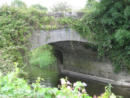 Newbridge Bridgebridge · 663 yd
 IndicatedFairy fort / earthen ringfort · 1065 yd
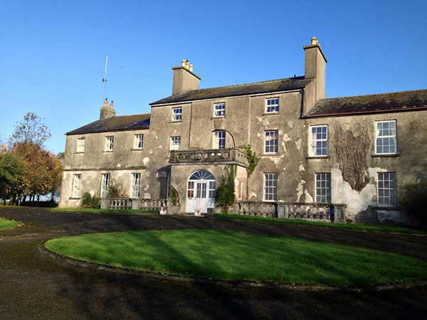 Site of Flower Hill Ho.House, 18th/19th century · 1529 yd
 Site of CastleCastle, unclassified · 1.1 mi
 Church HillMountain / peak · 1.6 mi
 Pallas CastleCastle, tower house · 2.2 mi
 Oak WoodForest · 2.3 mi
 Bog WoodForest · 2.3 mi
 Stonyisland BayBay · 3.1 mi
 Friar's IslandIslet · 3.5 mi
 Long IslandsIslet · 3.6 mi