What is recorded here
Situated on the River Suir in flat pasture. In 1358 the reeve and community of Loghmoy makes fines of '40d for the assise of bread and ale' (Bradley 1985, 58) and were 'summoned to seneschal's court' in 1432 (Graham 1977, 18; Martin 1981, 45). There are no earthworks visible at ground level around Loughmoe tower house (TN035-030005).
The above description is derived from 'The Archaeological Inventory of County Tipperary. Vol. 1 - North Tipperary' compiled by Jean Farrelly and Caimin O'Brien (Dublin: Stationery Office, 2002). In certain instances the entries have been revised and updated in the light of recent research.
Date of upload/revision: 22 September 2008
The monument record does not grant public access. Check the route and ask the landowner before entering private land.
- What survives
- Recorded monument
Places near here
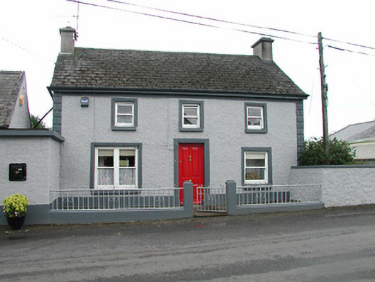 barracksbarracks · 98 yd
 Church (in Ruins), Grave Yd.Church · 157 yd
 Loughmoe CourtHouse, fortified house · 273 yd
 CastleCastle, ringwork · 312 yd
 Enclosure in TinvoherEnclosure · 868 yd
 Enclosure in Curraghmore (loughmoe East Par.)Enclosure · 1.0 mi
 Morris's GroveForest · 2.5 mi
 Kilvilcorris BogForest · 3.2 mi
 College HillMountain / peak · 5.0 mi
 Devil's Bit MountainMountain / peak · 5.7 mi
 Cormackstown Heritage CentreMuseum · 6.7 mi
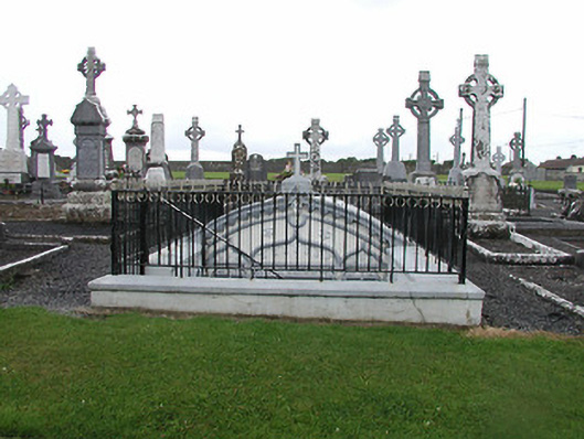 Catholic Church of the Nativity of Our Ladymausoleum · 221 yd