What is recorded here
Deserted medieval settlement in County Meath: at least two stone foundations, one 16m by 5.5m, lie east of the church and south of the motte, while a sunken roadway 11m wide runs east from them. Quarrying may have taken more than it gave back. The stones still mark a life that stopped being visible, not a place that never lived.
Foundations of at least two stone structures, one measuring 16m by 5.5m visible to the E of church (ME005-094----) and south of motte (ME005-093----). Quarrying may have destroyed others. A sunken roadway (W 11m) runs E from the structures. (Graham 1974, 49).
The above description is derived from the published 'Archaeological Inventory of County Meath' (Dublin: Stationery Office, 1987). In certain instances the entries have been revised and updated in the light of recent research.
Date of revision: 10 December, 2014
The monument record does not grant public access. Check the route and ask the landowner before entering private land.
- What survives
- Recorded monument
Places near here
 CrossCross, Churchyard cross · 36 yd
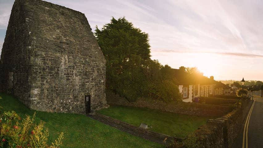 MoatCastle, motte and bailey · 89 yd
 Concentric enclosure in Cruicetown (kells Lower By.)Concentric enclosure · 853 yd
 Church in Robertstown (kells Lower By.)Church · 1029 yd
 Bawn in Robertstown (kells Lower By.)Bawn · 1190 yd
 Cherburg WoodForest · 1.2 mi
 Owenroe and Moynalty DrainageMemorial · 1.4 mi
 Common LimeCommon Lime · 1.5 mi
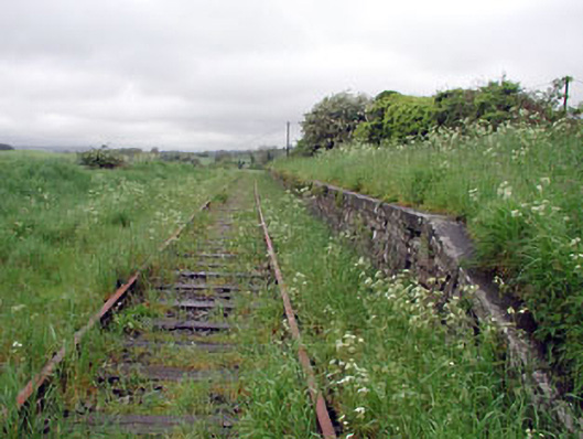 Nobber Railway Stationplatform · 2.1 mi
 Nobber GreenwayMemorial · 2.1 mi
 Gallows HillMountain / peak · 2.2 mi
 HeadstownMountain / peak · 2.6 mi