What is recorded here
On the lower, moderately steep, NW-facing pasture slope of Grange Hill (OD 743 feet). The fairly poorly preserved remains comprise a rectangular house site and second, smaller building, three rectangular fields and two possible sunken ways, the whole covering a large rectangular area (dims. L c. 250m ENE-WSW; Wth c. 200m NNW-SSE). The rectangular house site (ext. dims. L 10.8m E-W; Wth 6.5m) is defined by walls reduced to grassed-over stony spreads (Wth 2.5-3.5m; int. H 0.9m; ext. H 0.6m) and is subdivided internally to E of centre by a similarly collapsed wall running N-S. A second, smaller, square building (dims. L 4m; Wth 4m) is similarly defined but is open to the N and stands 1m to the SW of the main building. These buildings stand in the NE corner of a large square field (dims. L c. 60m; Wth c. 60m) which is defined by a scarp upslope along the S and elsewhere by a combination of low scarps and low, broad earthen banks (Wth 8-10m; H 0.3-0.5m). Abutting this field on the W, and separated by a low scarp, is a second, smaller, rectangular field (dims. L c. 40m N-S; Wth c. 18m) which is defined upslope along the S by a low scarp and elsewhere by a broad, grassed-over stony bank (Wth 4-6m; 0.6-1.4m). Immediately to the W, a slightly meandering sunken way (Wth 1.2m) runs N (traceable L c. 50m) and is defined along its W side by a narrow earthen bank (Wth 2.7m; int. H 0.6m; ext. H 0.2m) and along its E side by a much broader earthen bank (Wth 6m; int. H 0.8m; ext. H 0.2m). Immediately to the SW, a low earthen bank (traceable L c. 30m; Wth 3-4m; H 0.3-0.7m) seems to form the W limits of another field while slightly off-line to its S, and separated by a later depression (dims L 6m N-S; Wth 4m E-W; D 0.3m), the W limits of another field are formed by a low earthen bank (traceable L c. 25m N-S; Wth 3.2m; H 0.4m) with a shallow fosse (Wth 1.6m; D 0.2m) running along its W side. Some 18m to the W is a second possible sunken way (traceable L c. 180m; Wth 3m) defined by intermittent earthen banks (Wth 1-2.5m; H 0.1-0.3m) along its E and W sides forms the W limits of the complex. The area is known locally as 'the town meadow'. (CUCAP AHL 96 (1963); GSI N 424, 425)
Compiled by: Gearóid Conroy
Date of upload: 10 June 2011
The monument record does not grant public access. Check the route and ask the landowner before entering private land.
- What survives
- Recorded monument
Places near here
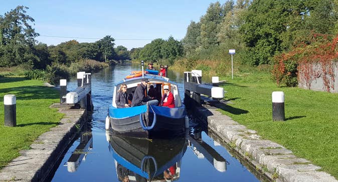 Enclosure in Kilmoney SouthEnclosure · 611 yd
 Chair of KildareCastle, unclassified · 914 yd
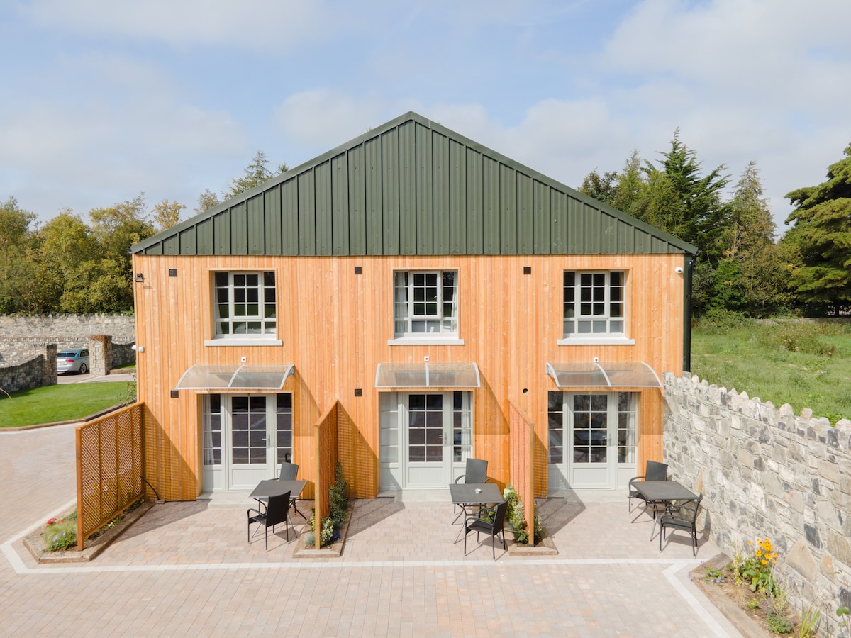 Enclosure in ConlanstownEnclosure · 1093 yd
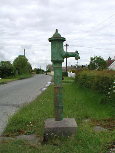 water pumpwater pump · 1.2 mi
 Church in Dunmurry EastChurch · 1.2 mi
 Bithia Mary CrokerMemorial · 3.3 mi
 Site of CastleCastle, tower house · 3.5 mi
 Community OrchardNature reserve · 3.6 mi
 Killinthomas Wood (Rathangan)Wood · 4.0 mi
 Saint Fiachra's GardenHeritage attraction · 4.4 mi
 Lullymore Heritage ParkHeritage attraction · 4.4 mi
 Grand Canal WayVisitor information · 6.0 mi