What is recorded here
Medieval Leys dissolved into the low fields between Lea Castle and the old churchyard, leaving only linear earthworks that may be town boundaries or later drainage cuts. It rose as a royal staging place, resisted Offaly, burned in 1307, and declined until an inquisition in 1323 found most of it waste. A great ash near the road later gave the forgotten town a shape people could gather around, but even that marker decayed and vanished. What remains is a place whose identity keeps slipping through soil, water and time.
Unlocated settlement within the townland of Ballymaddock mentioned as the 'Village of Ballymaddocke' in an indenture of the lands of Robert Pigott of the Disarte in Queen's Co. taken on the 2nd May 1605.(O'Flanagan 1933, vol.1, p. 97)
Compiled by: Caimin O'Brien
Date of upload: 17 December 2007
The monument record does not grant public access. Check the route and ask the landowner before entering private land.
- What survives
- Recorded monument
Places near here
 Chapel in Ballytegan,gorteen (maryborough East By.),kyleclonhobertChapel · 1 yd
 Mail Coach StablesCastle, unclassified · 101 yd
 Enclosure in BallycliderEnclosure · 929 yd
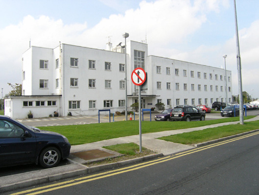 Midland Regional Hospital Portlaoisenurses' home · 974 yd
 Enclosure in Ballyroan (maryborough East By.)Enclosure · 1156 yd
 Burial Ridge of MaryboroughMemorial · 1.3 mi
 RathnamanaghCastle, motte and bailey · 1.3 mi
 Portlaoise CourthouseMemorial · 1.6 mi
 Rock of DunamaseCastle · 2.4 mi
 Rock of Dunamase InformationVisitor information · 2.5 mi
 Rock of CashelMountain / peak · 4.5 mi
 European BeechEuropean Beech · 5.1 mi