What is recorded here
A place called Na Sráidíní, or the streets, at Ross (Power 1952, 411) could be interpreted as a village. It remains unlocated.
Power, Rev. P. (1952) The placenames of the Decies. (second ed.) Cork University Press.
Compiled by: Michael Moore
Date of upload: 02 November 2010
The monument record does not grant public access. Check the route and ask the landowner before entering private land.
- What survives
- Recorded monument
Places near here
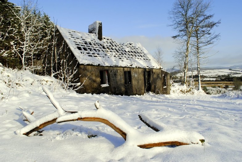 Knockanaffrin South TopMountain / peak · 1044 yd
 The Gap WalkWalking route · 1047 yd
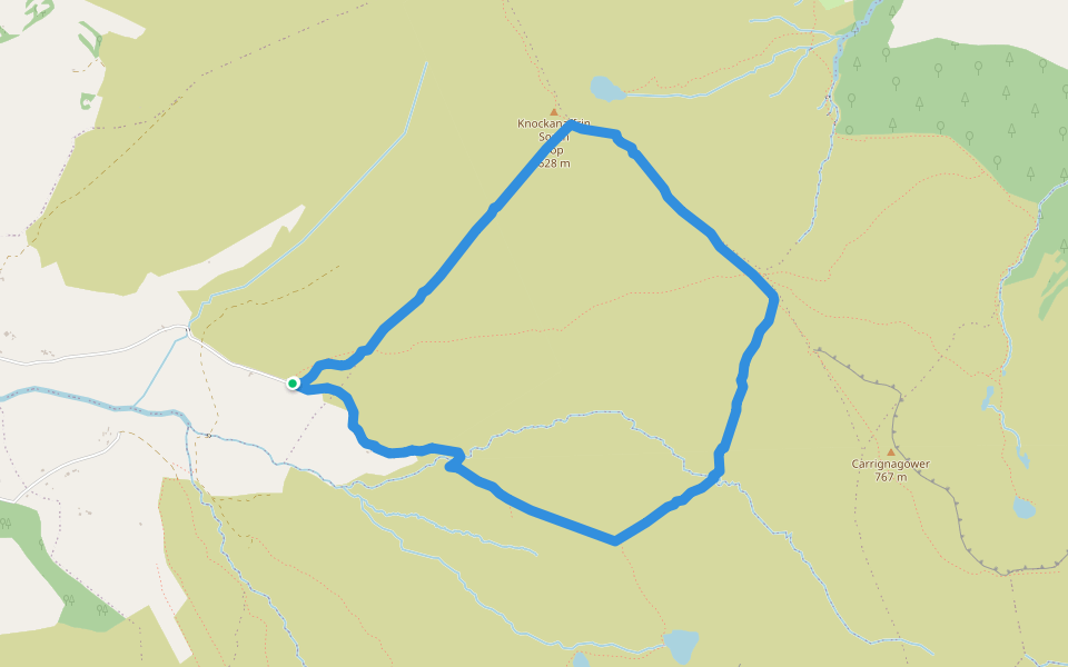 Coumduala LoopWalking route · 1094 yd
 Fulacht fia in Carrigeen (upperthird By.)Fulacht fia · 1293 yd
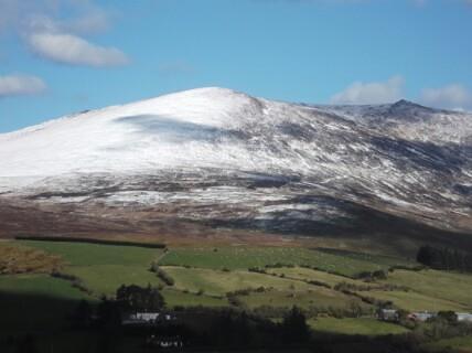 Hut site in KnockanaffrinHut site · 1468 yd
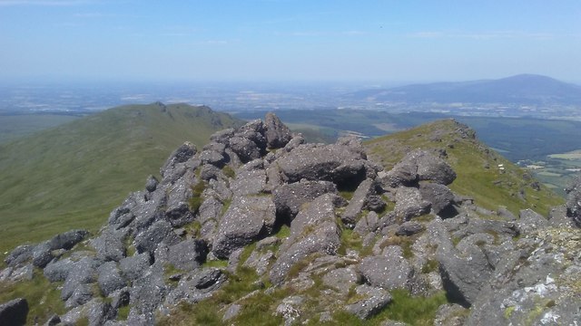 KnockanaffrinMountain / peak · 1684 yd
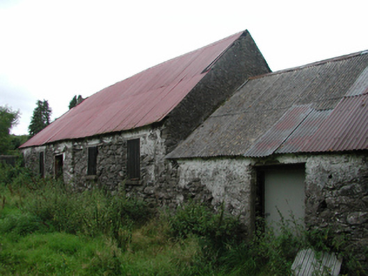 Nell's Cottagefarm house · 1.2 mi
 CillChurch · 1.6 mi
 Curraheen TrailsVisitor information · 1.7 mi
 Knocknaree WoodForest · 2.5 mi
 CoumshingaunMountain corrie and lake · 3.2 mi
 Turraphuca WoodForest · 3.2 mi