What is recorded here
Loughteeog, a cluster of homes hidden within County Laois, appears in a seventeenth-century document as the town and landes of Loughticogue. It remains unlocated on modern maps, preserved only in that old written claim. People likely lived there, breathed there, and forgot the exact stones before the land changed shape.
Unlocated settlement within townland mentioned in seventeenth century document as the town and landes of Loughticogue (O'Flanagan 1933, p. 97-8)
Compiled by: Caimin O'Brien
Date of upload: 17 December 2007
The monument record does not grant public access. Check the route and ask the landowner before entering private land.
- What survives
- Recorded monument
Places near here
 Enclosure in LoughteeogEnclosure · 442 yd
 Prospect Ho.Castle, unclassified · 554 yd
 Enclosure in RaheenaniskyEnclosure · 918 yd
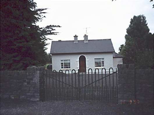 Woodlands Househouse · 1.1 mi
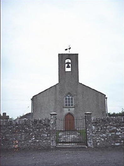 Saint Mogue's Church (Timogue)church/chapel · 1.2 mi
 Site of CastleCastle, unclassified · 1.5 mi
 European BeechEuropean Beech · 2.4 mi
 Rock of Dunamase InformationVisitor information · 2.4 mi
 Rock of DunamaseCastle · 2.5 mi
 CEMETERYGraveyard · 2.9 mi
 Oughaval Wood MapVisitor information · 3.1 mi
 Beech Way WalkWalking route · 3.3 mi