What is recorded here
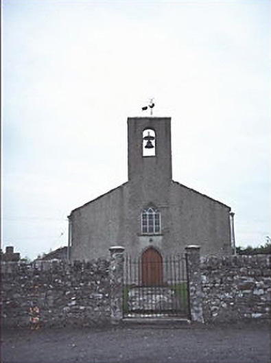
Detached three-bay single-storey single-cell Church of Ireland church, dated 1736, on a rectangular plan. Renovated, 1964. Pitched slate roof with ridge tiles, coping to gables including coping to gable (west) with weathervane-topped roughcast bellcote to apex, and cast-iron rainwater goods on roughcast eaves with cast-iron octagonal hoppers and downpipes. Roughcast battered walls bellcast over rendered plinth. Pointed-arch window openings with sills, and concealed dressings framing four-over-twelve timber sash windows having interlocking Y-tracery glazing bars. Pointed-arch door opening (west) with repointed margined tooled cut-limestone surround having chamfered reveals framing timber boarded double doors. Pointed-arch window opening (gable) with sill, and concealed dressings framing fixed-pane fitting having interlocking Y-tracery glazing bars. Full-height interior with reclaimed font [SMR LA019-007004-], limestone flagged central aisle between timber panelled box pews with cut-white marble floor monuments (1715; 1766), Classical-style wall monuments (1764; ----), and bowed stepped dais to chancel (east) with turned timber balusters supporting carved timber communion railing circling cloaked altar below pulpit. Set in landscaped grounds with benchmark-inscribed monolithic piers to perimeter having shallow pyramidal capping supporting wrought iron gate. NOTE: A window on the south side of the church has the following etched inscription: "This Church/Painted by W Dobbin/May 1915 Sinking of/the Lousitania [sic] by the/Germans/Will the allies [etched over original alleys] beat them or will it/be a draw for who reads/this in years to come/will know".
This does not grant access. Most recorded buildings are privately owned; view them only from public ground unless the owner allows entry.
Places near here
 Site of CastleCastle, unclassified · 95 yd
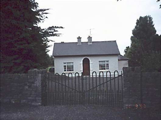 Woodlands Househouse · 185 yd
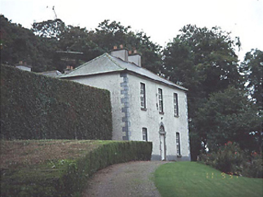 Timogue Househouse · 273 yd
 Enclosure in LoughteeogEnclosure · 1323 yd
 Prospect Ho.Castle, unclassified · 1.2 mi
 Enclosure in RaheenaniskyEnclosure · 1.2 mi
 European BeechEuropean Beech · 1.8 mi
 CEMETERYGraveyard · 2.1 mi
 Oughaval Wood MapVisitor information · 2.1 mi
 Mass Rock WalkWalking route · 2.2 mi
 Beech Way WalkWalking route · 2.3 mi
 Mass RockNamed rock · 2.4 mi
Other information
Photo: National Inventory of Architectural Heritage · Website use allowed for educational or private purposes with source credit