What is recorded here
Lisleecourt in County Cork, Ireland, holds a settlement cluster where people lived together long before modern borders. The exact number of houses and the years they occupied remain unknown, but the cluster still marks a time when human hands shaped that land.
The Archaeological Survey of Ireland (ASI) is in the process of providing information on all monuments on The Historic Environment Viewer (HEV). Currently the information for this record has not been uploaded. To access available information for research purposes please make an appointment in advance with the Archive Unit (open Fridays 10.00 am – 5.00 pm), Department of Housing, Local Government and Heritage, The Custom House, Dublin 1 D01W6XO or email NMarchive@housing.gov.ie.
The monument record does not grant public access. Check the route and ask the landowner before entering private land.
- What survives
- Recorded monument
Places near here
 Blind StrandBeach / strand · 350 yd
 HDS walk Coolim CliffsHeritage attraction · 444 yd
 Field system in LisleecourtField system · 566 yd
 Barry's PointHeadland · 853 yd
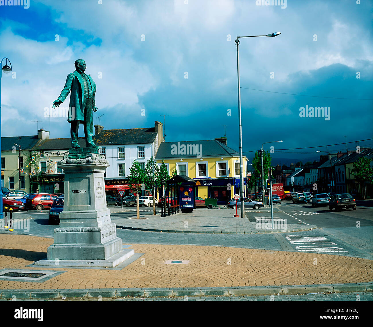 Pat Keoghane StatueMonument · 869 yd
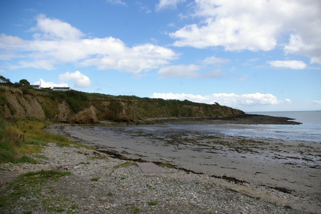 Broad StrandBeach / strand · 1280 yd
 Lislee Court (Site of)Castle, unclassified · 1449 yd
 Church in LisleetempleChurch · 1714 yd
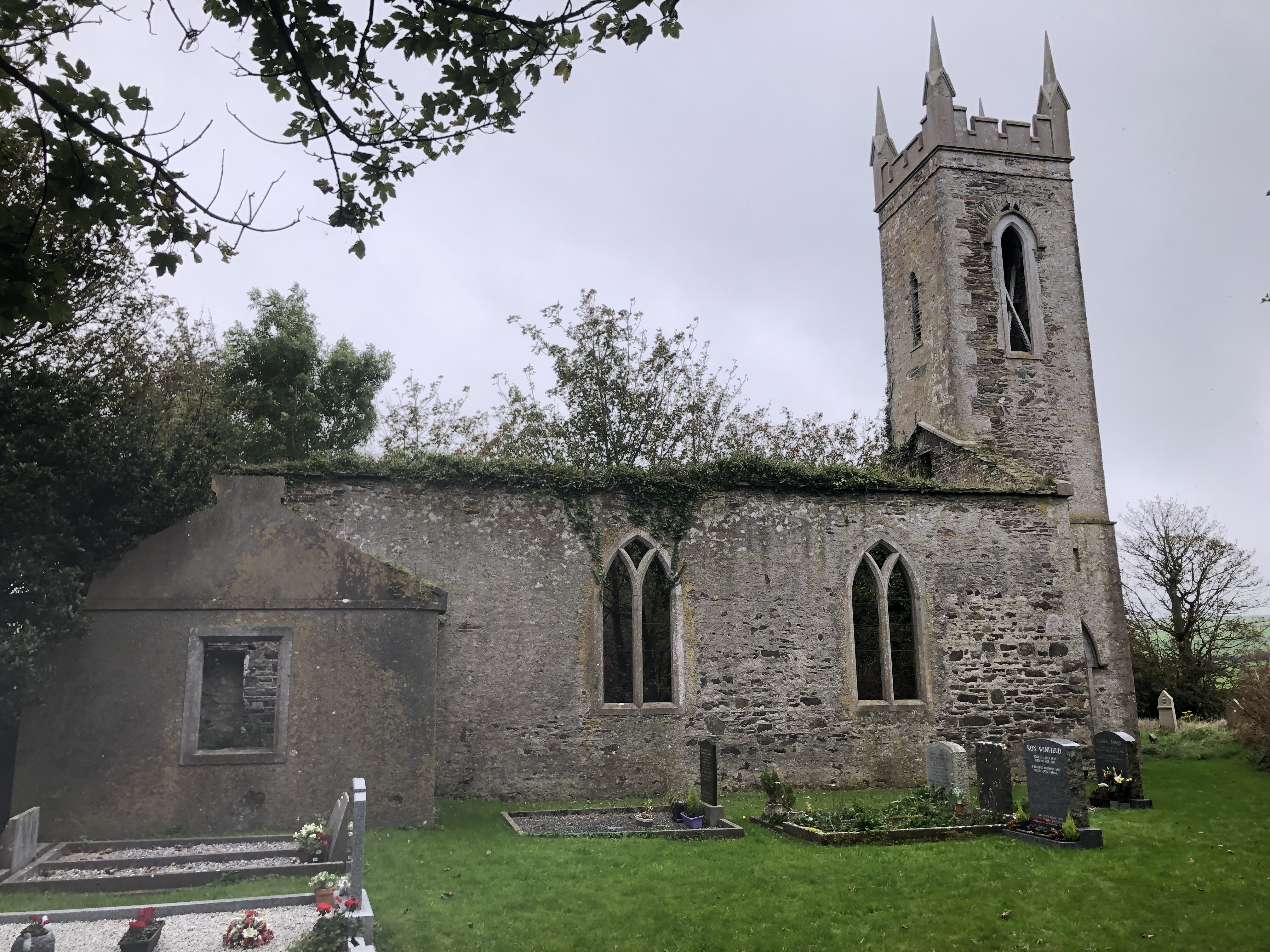
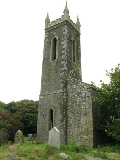 church/chapelchurch/chapel · 1717 yd
 Courtmacsherry LoopWalking route · 1.5 mi
 Chilean myrtleChilean myrtle · 1.7 mi
 CourtCastle, unclassified · 1.7 mi