What is recorded here
Lacken began as a small cluster of houses occupying the northeast edge of Lackenlouty when Robert Shea lost his lands in 1640. The surveyors reduced that living place to two sharp gables on their map, yet the angle of those lines still points toward the yard where neighbours probably argued, traded and raised children. The exact spot has faded from memory, but the drawing preserves the shape of an ordinary life that power tried to erase.
Indicated on the Down Survey (1655-6) barony map of ‘The Liberties of the Citty of Kilkenny’ and on the Down Survey parish map ‘Canice in the Liberties of the Citty of Kilkenny’ as the gable of two houses, which may be a crude representation of a settlement cluster, in the NE area of the 17th-century townland of 'Lackenlouty', which is roughly the centre of the modern townland of Lacken (Hibernia Regnum, courtesy of Trinity College Dublin). The terrier accompanying the parish map lists 'Robert Shea Ir[ish] Pa[pist]' as the proprietor of the forfeited lands in 1640 (ibid.). The precise location of this settlement within the townland is unknown.
See attached:
KK019-090----_01 extract from Down Survey (1655-6) barony map of ‘The Liberties of the Citty of Kilkenny’ (Hib. Reg., courtesy of Trinity College Dublin)
KK019-090----_02 extract from Down Survey (1655-6) parish map ‘Canice in the Liberties of the Citty of Kilkenny’ (Hib. Reg., courtesy of Trinity College Dublin)
Compiled by: Jean Farrelly
Date of upload: 14 October 2020
The monument record does not grant public access. Check the route and ask the landowner before entering private land.
- What survives
- Recorded monument
Places near here
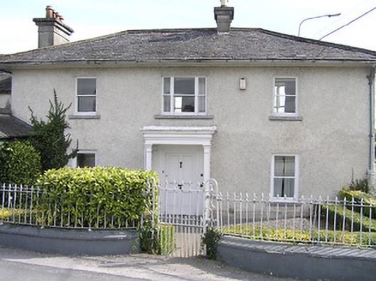 Lacken Lodgehouse · 128 yd
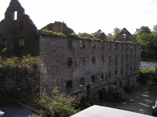 Lacken Millsmill (water) · 218 yd
 Enclosure in Dukesmeadows (shillelogher By., St. Patrick's Par.)Enclosure · 504 yd
 SandyMemorial · 594 yd
 Graveyard in Gardens (kilkenny City By., St. John's Par.)Graveyard · 612 yd
 CastleCastle, unclassified · 664 yd
 Kilkenny County Council Car ParkVisitor information · 679 yd
 KilkennyVisitor information · 720 yd
 Fortification in Dukesmeadows (shillelogher By., St. Patrick's Par.)Fortification · 856 yd
 Grace's Old CastleCastle · 1355 yd
 Smithwick's Brewery ExperienceHeritage attraction · 1390 yd
 Stephens Barracks MuseumMuseum · 1437 yd