What is recorded here
Unlocated settlement referred to in seventeenth century documents as the 'towne and lands of Kilteale' mentioned in the OS letters (O'Flanagan 1933, vol. 1, p. 97).
Compiled by: Caimin O'Brien
Date of upload: 17 December 2007
The monument record does not grant public access. Check the route and ask the landowner before entering private land.
- What survives
- Recorded monument
Places near here
 Kilteale Church (in Ruins)Church · 242 yd
 Cromwells LinesFairy fort / earthen ringfort · 895 yd
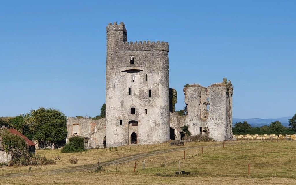 CastleCastle, unclassified · 908 yd
 Enclosure in Park UpperEnclosure · 951 yd
 Holy Trinity Church (Kilteale)church/chapel · 1177 yd
 Rock of Dunamase InformationVisitor information · 1225 yd
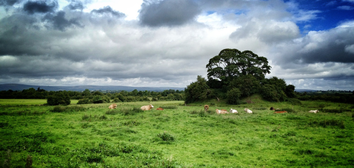 Bawn in Ballymaddock (stradbally By.)Bawn · 1257 yd
 Rock of DunamaseCastle · 1338 yd
 European BeechEuropean Beech · 2.3 mi
 CEMETERYGraveyard · 3.1 mi
 Black WalnutBlack Walnut · 3.5 mi
 Oughaval Wood MapVisitor information · 3.5 mi