What is recorded here
Close to shore on S side of Kingstown Bay. Petrie (1972, 253) refers to a 'town of Cahers and circular stone houses' at a place called 'Ballyconry (Baile Chonrigh, i.e. the town of Curigh)'. He then continues: 'They consist of circular foundations of various size, varying from 6 to 50 feet [2-17m] in diameter. The smaller ones appear to have been roofed with stone but there are none of them perfect'. All that is visible today is a large area (E-W 400m, N-S 200m) full of field clearance cairns with lazy-beds running between them, possibly the remains of the site referred to by Petrie. A wedge-tomb lies immediately W (GA022-036----). (O'Flanagan 1927a, Vol. 3, 91-2)
The above description is derived from the published 'Archaeological Inventory of County Galway Vol. I - West Galway'. Compiled by Paul Gosling (Dublin: Stationery Office, 1993).
Date of upload: 05 August 2010
The monument record does not grant public access. Check the route and ask the landowner before entering private land.
- What survives
- Recorded monument
Places near here
 Hog IslandIslet · 969 yd
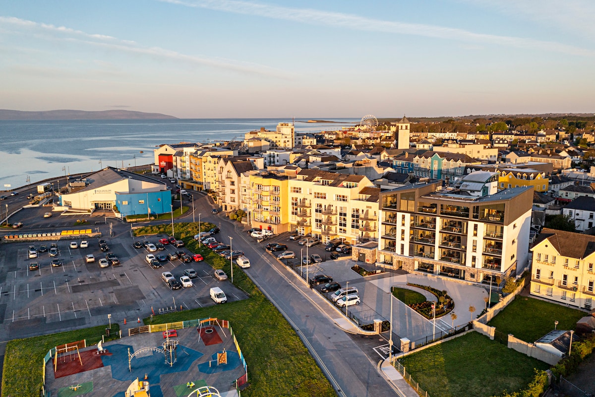 Acton BeachBeach / strand · 1550 yd
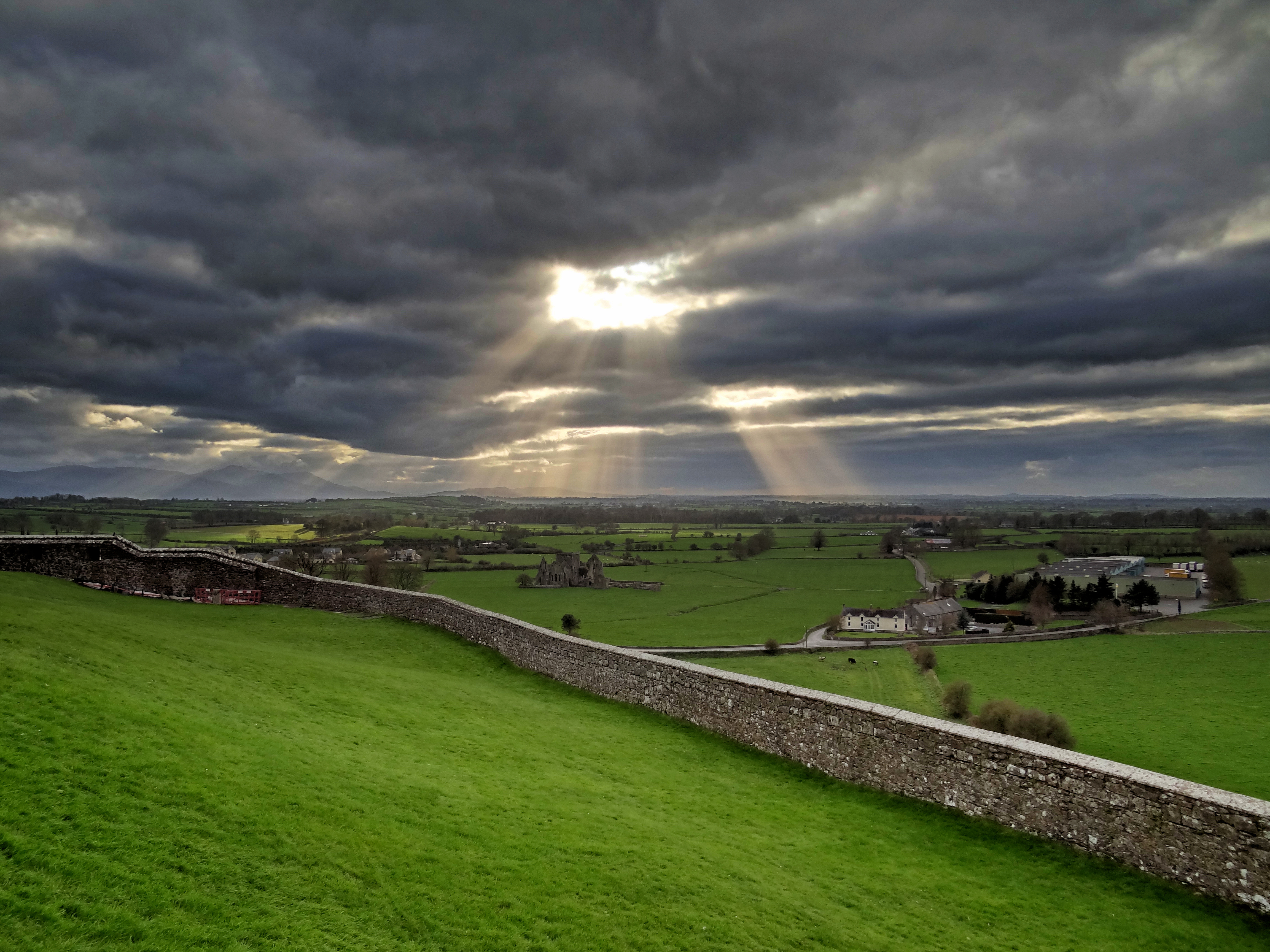 Mass-rock in CushatroughMass-rock · 1.1 mi
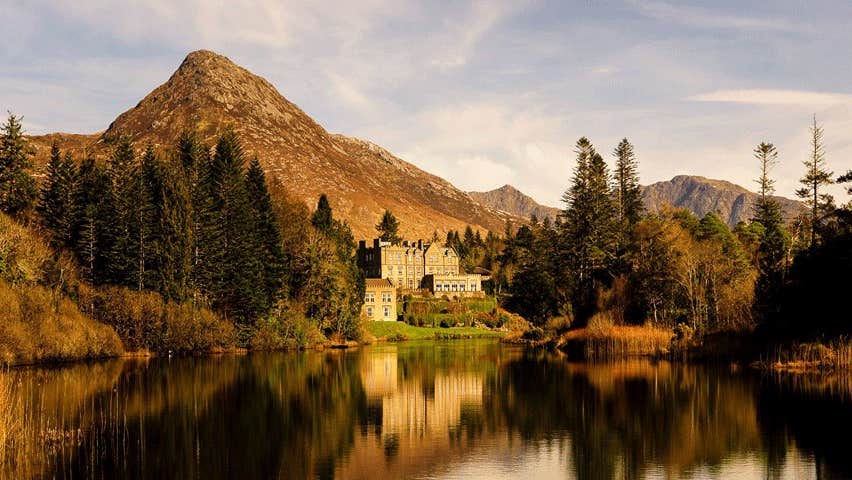 IndicatedPromontory fort, coastal · 1.1 mi
 InishturkIslet · 1.2 mi
 Omey Ho. in ruinsHouse, 18th/19th century · 1.3 mi
 Kill ChurchChurch · 1.4 mi
 Sky RoadViewpoint · 1.5 mi
 Bawn in Doon (ballynahinch By.)Bawn · 1.5 mi
 The StrandBeach / strand · 1.9 mi
 Cleggan fishing disaster 28th October 1927Memorial · 3.1 mi
 ClegganVisitor information · 3.1 mi