
What is recorded here
On a small promontory overlooking mouth of Clifden Bay to S. Level triangular area (35m by 30m max.) defined by a well-preserved inner bank (Wth 6.7m, H 3.2m max.), a steep-sided, flat-bottomed fosse (Wth 4-7m), and a poorly preserved outer bank (Wth 3.5m, H 0.8m). No trace exists of an entrance through the inner bank and a large gap in outer may be modern.
The above description is derived from the published 'Archaeological Inventory of County Galway Vol. I - West Galway'. Compiled by Paul Gosling (Dublin: Stationery Office, 1993).
Date of upload: 05 August 2010
A local fairy fort (ringfort/rath); wider significance not recorded.
The monument record does not grant public access. Check the route and ask the landowner before entering private land.
- What survives
- Recorded monument
Places near here
 Sky RoadViewpoint · 1112 yd
 Kill ChurchChurch · 1.3 mi
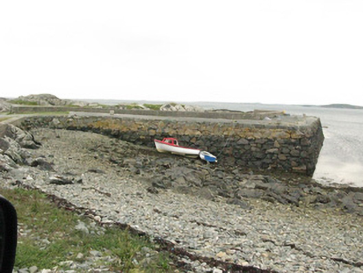 quay/wharfquay/wharf · 1.4 mi
 Bawn in Doon (ballynahinch By.)Bawn · 1.5 mi
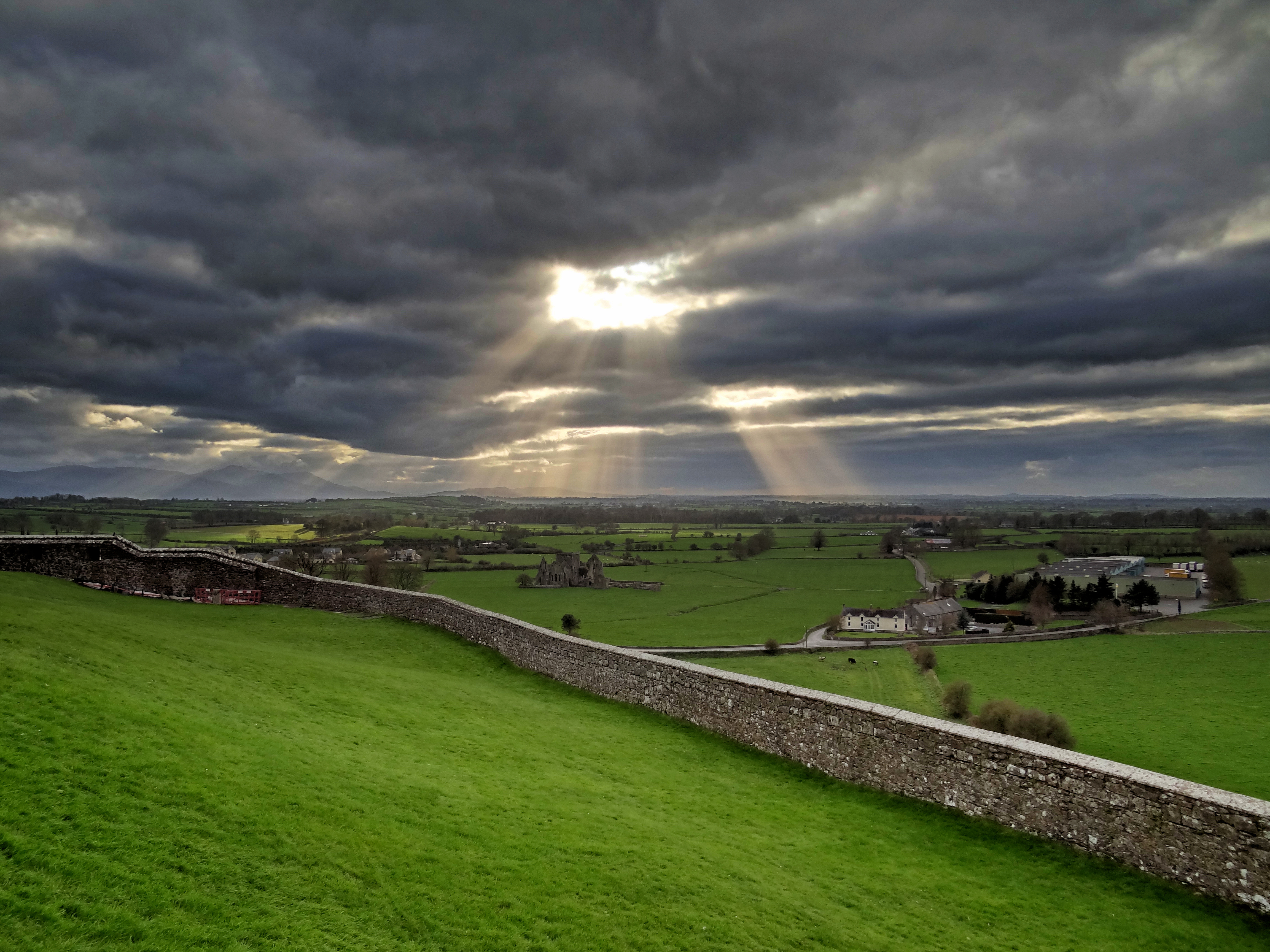 Mass-rock in CushatroughMass-rock · 1.6 mi
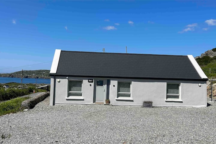 Turbot IslandIsland · 1.6 mi
 Hog IslandIslet · 1.7 mi
 Acton BeachBeach / strand · 2.0 mi
 Ritual siteRitual site, holy/saint's stone · 2.2 mi
 The StrandBeach / strand · 3.1 mi
 Abbeyglen Castle HotelCastle · 3.4 mi
 Mannin BayBay · 3.4 mi
Other information
Photo: Credit not shown in the picture search · Rights wording not checked; contact us if this picture should be removed