What is recorded here
This settlement was mentioned in the inventory entry no. 968 in vol. 1 of the Archaeological Inventory of County Cork. According to Healy (1988, 181), 'The Petty Map of 1652 shows a small castle or house marked as 'Doagh' above the estuary inland from Barley Cove' and to the left 'the remains of what appears to have been a village [CO147-089----]'. These have not been precisely located.
The above description is derived from the published 'Archaeological Inventory of County Cork. Volume 1: West Cork' (Dublin: Stationery Office, 1992). In certain instances the entries have been revised and updated in the light of recent research.
Date of upload/revision: 14 January 2009
The monument record does not grant public access. Check the route and ask the landowner before entering private land.
- What survives
- Recorded monument
Places near here
 Chimney CoveBeach / strand · 618 yd
 Barley CoveBeach / strand · 772 yd
 Creamery PlatformMemorial · 917 yd
 Cross in LissagriffinCross · 964 yd
 ToberullaHoly well · 1089 yd
 Castle (Site of)Castle, unclassified · 1205 yd
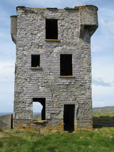 Browhead Signal Stationsignal tower · 1.2 mi
 Brow Head Signal TowerRuins · 1.2 mi
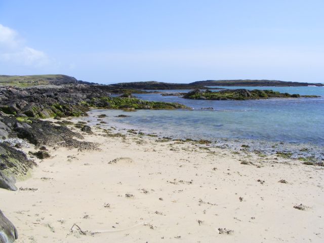 Galley Cove BeachBeach / strand · 1.2 mi
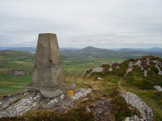 Mizen PeakMountain / peak · 1.8 mi
 Mizen Head Visitors CentreHeritage attraction · 2.3 mi
 KnockboyMountain / peak · 2.4 mi