
What is recorded here
Carrowkeel holds a settlement cluster where people lived together before modern boundaries. The exact layout and dates remain unrecorded in the available information, but the cluster itself suggests repeated choice of the same ground. Perhaps families returned there because the soil, water or light suited them. That much is certain: the place still carries the shape of human staying.
The Archaeological Survey of Ireland (ASI) is in the process of providing information on all monuments on The Historic Environment Viewer (HEV). Currently the information for this record has not been uploaded. To access available information for research purposes please make an appointment in advance with the Archive Unit (open Fridays 10.00 am – 5.00 pm), Department of Housing, Local Government and Heritage, The Custom House, Dublin 1 D01W6XO or email NMarchive@housing.gov.ie.
The monument record does not grant public access. Check the route and ask the landowner before entering private land.
- What survives
- Recorded monument
Places near here
 Man-made underground passage in Carrowkeel (athenry By.)Man-made underground passage · 106 yd
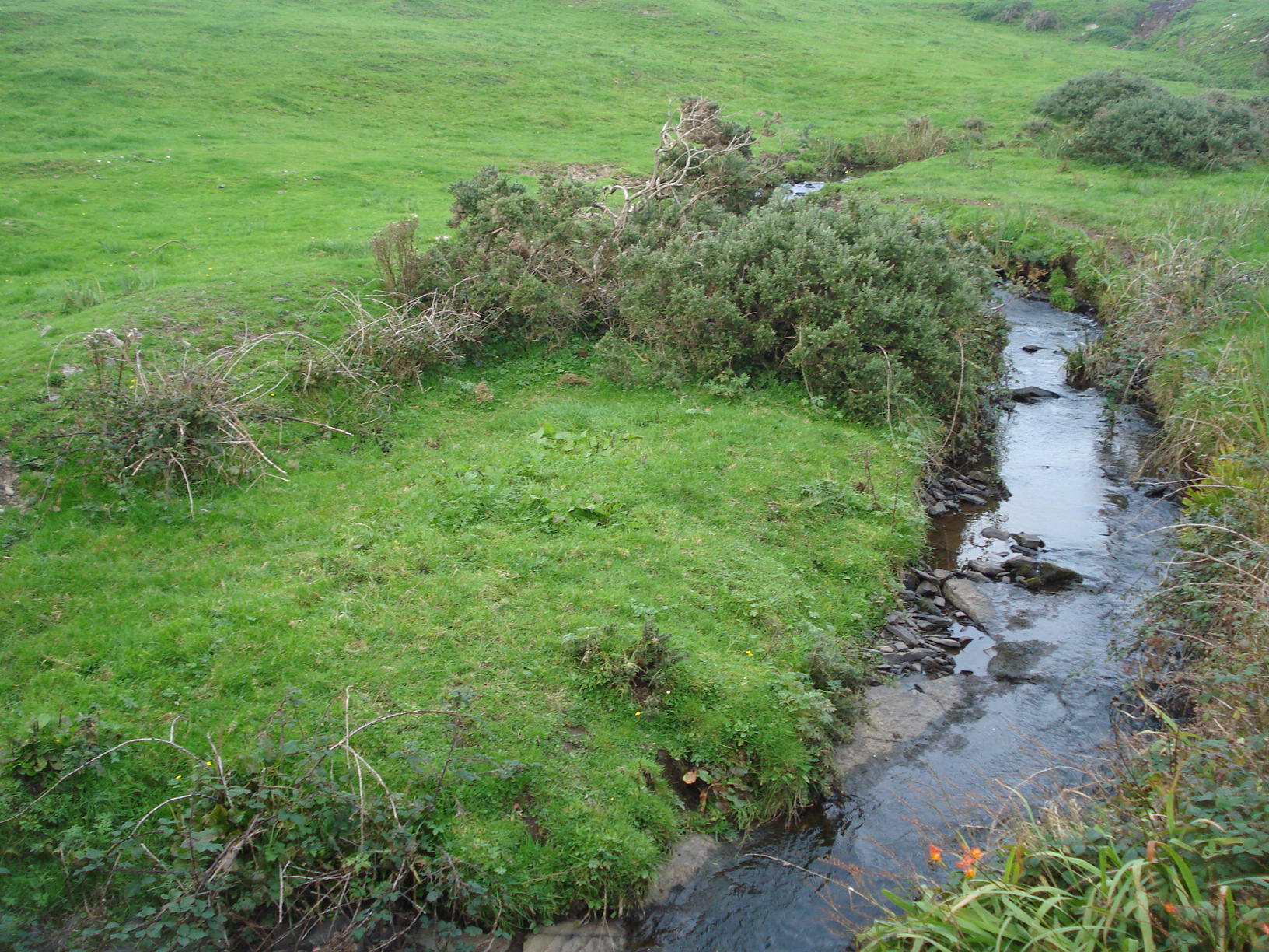 Field system in Carrowkeel (athenry By.)Field system · 300 yd
 Dunsandle Railway Stationrailway station · 655 yd
 Clogharevaun Bridgebridge · 1057 yd
 Castle (in ruins)Castle, tower house · 1.9 mi
 Galboley Castle (in ruins)Castle, unclassified · 2.2 mi
 Turoe StoneHeritage attraction · 2.3 mi
 Moyard WoodWood · 4.0 mi
 Barrack IslandIslet · 5.0 mi
 Blake's IslandIslet · 5.1 mi
 Woodlawn WoodsForest · 6.5 mi
 Scalpeen RockNamed rock · 9.9 mi
Other information
Photo: Credit not shown in the picture search · Rights wording not checked; contact us if this picture should be removed