
What is recorded here
Within a field system (GA097-068003-), c. 60m to the ENE of a cashel (GA097-068002-). Apart from one intact section (L 2m; Wth 1.2m), roughly at its mid-point, this drystone-built Man-made underground passage (L 6m), which runs N-S, has almost completely collapsed and is inaccessible. Where intact, two roof lintels are visible but the chamber/passage is almost completely filled with rubble. Depressions to the N and S indicate the continuing line of the Man-made underground passage; drystone-walling is evident in the latter one. According to local information, during the dry summer of 1980 a strip of burnt/dried grass about 1m wide ran further southwards from the S depression for a distance of about 30m, suggesting that the Man-made underground passage continued further in that direction (information from E. Rynne). (Cody 1989, 308, no. 131) (Cody 1989, 308, no. 131)
Compiled by: Galway Archaeological Survey, UCG
Date of upload: 9 September 2019
The monument record does not grant public access. Check the route and ask the landowner before entering private land.
- What survives
- Recorded monument
Places near here
 Settlement cluster in Carrowkeel (athenry By.)Settlement cluster · 106 yd
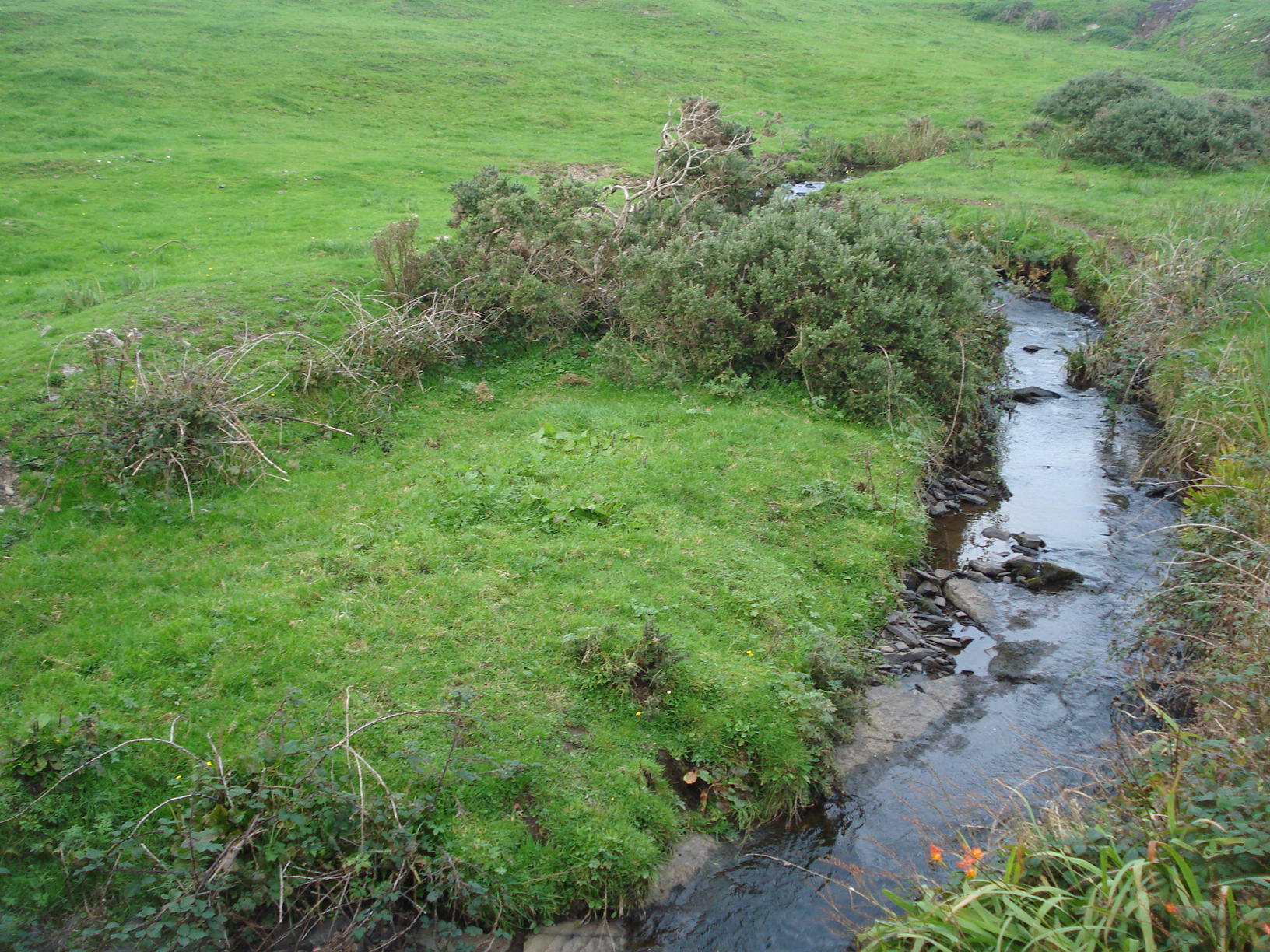 Field system in Carrowkeel (athenry By.)Field system · 195 yd
 Dunsandle Railway Stationrailway station · 694 yd
 Clogharevaun Bridgebridge · 1016 yd
 Castle (in ruins)Castle, tower house · 2.0 mi
 Galboley Castle (in ruins)Castle, unclassified · 2.2 mi
 Turoe StoneHeritage attraction · 2.4 mi
 Moyard WoodWood · 3.9 mi
 Barrack IslandIslet · 5.1 mi
 Middle IslandIslet · 5.2 mi
 Woodlawn WoodsForest · 6.5 mi
 Kilconnell AbbeyHeritage attraction · 9.9 mi
Other information
Photo: Credit not shown in the picture search · Rights wording not checked; contact us if this picture should be removed